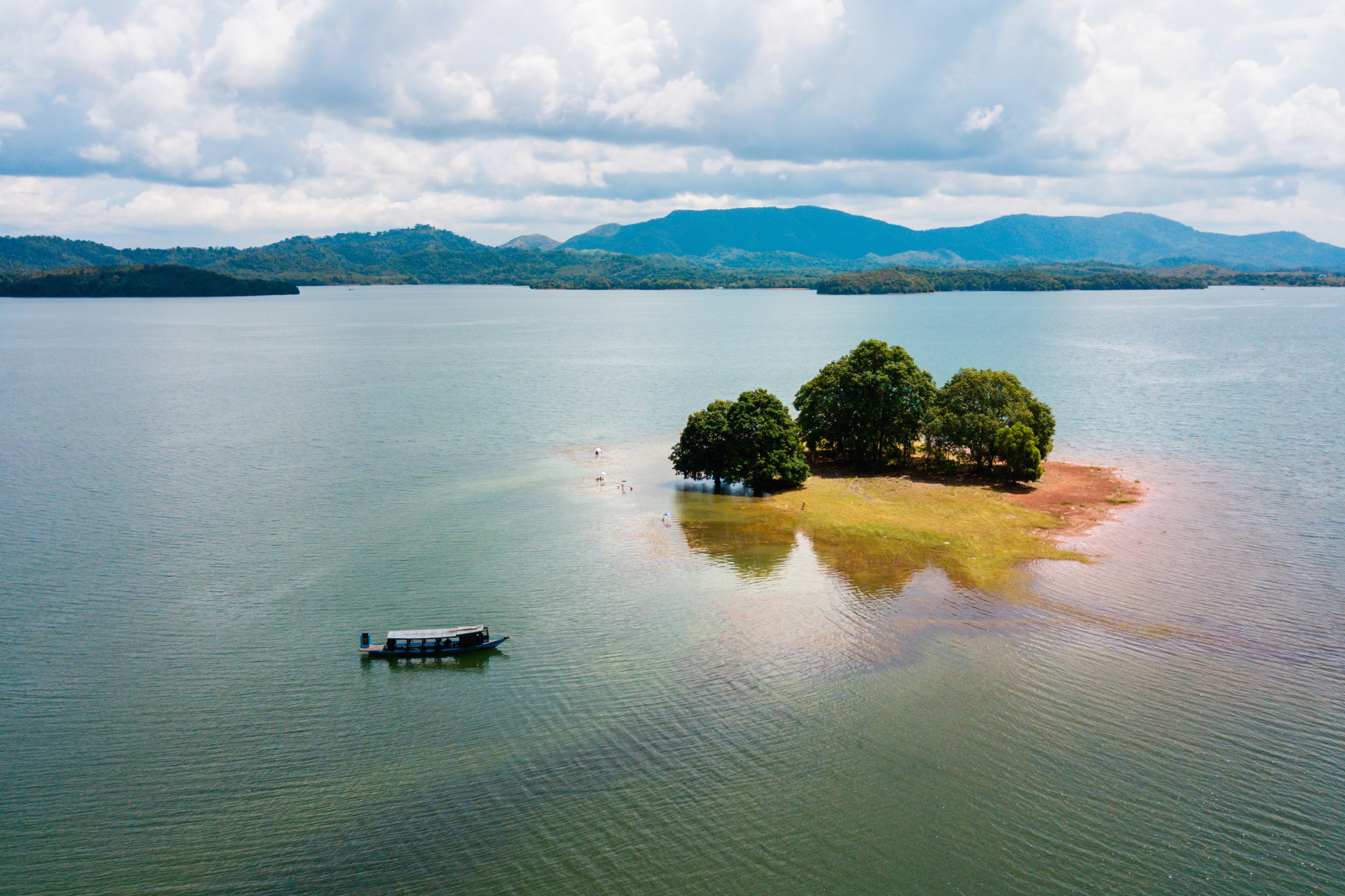
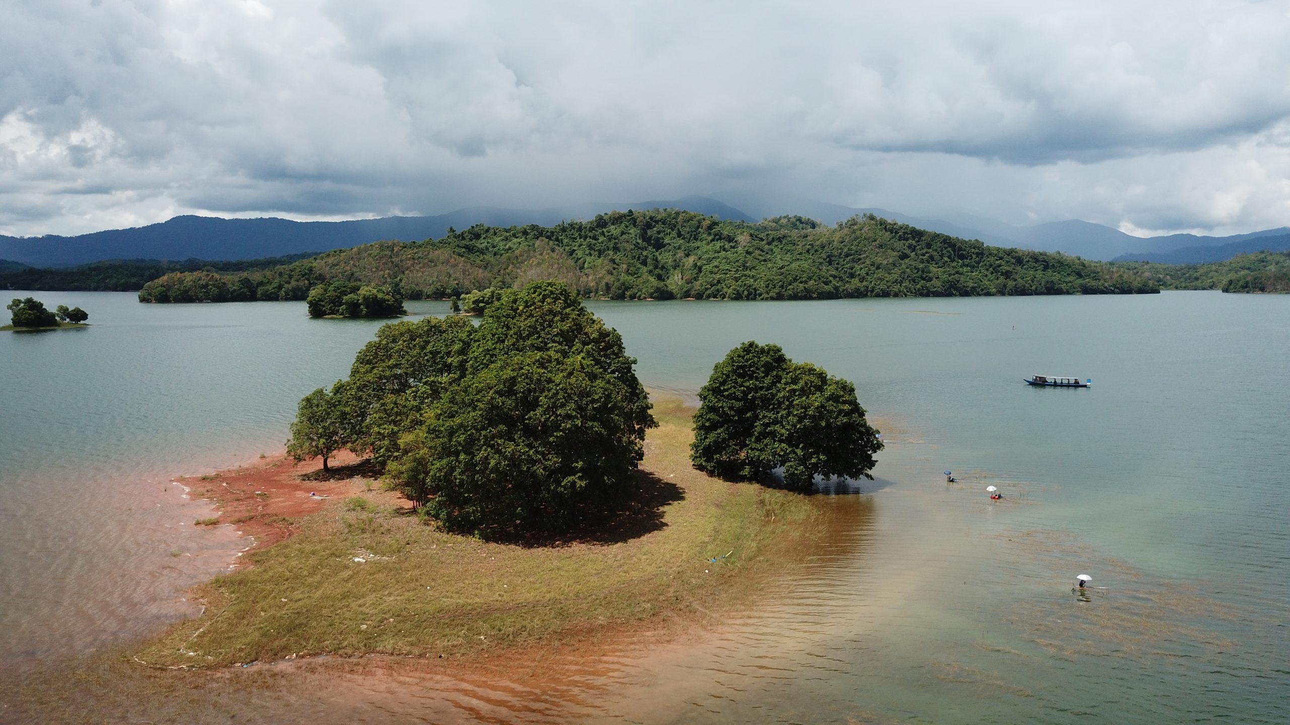
The Sirang Island Archaeological Site is in the Riam Kanan Lake, Tiwingan Baru Village, Aranio District, Banjar Regency. It is 2,2 km from Pinus Island by an engine boat or what the local community calls “Klotok”. It was a result of earth events (geology) from the Metamorphic Rock Group aged 180-135 million years ago (Middle-Late Jurassic), an island in Lake Riam Kanan and the smallest island in Lake Riam Kanan, which commonly called by the name of Sirang Island. It is about 50 meters above sea level, formerly a counter of the Kalaan, Amangpo and Huai Rivers, before the existence of a lake. There was found a thriving paleolithic culture site. The evidence of a collection of stone artifacts, such as tools (hammer axes, punching axes, handheld axes, hand-held proto-chisels, stone cores, shale, blades, tapers, trimmed pebbles, and percussion/ hammer stones) and non-tools (shale fragments, tatal, and pebbles as a waste fragments from the manufacture of stone tools). The rocks used in the equipment are indicated came from rocks found in the surroundings such as sandstone, quartzite, shale, schist, etc., which originate from the Metamorphic Group, Paau Formation, and Manunggul Formation. Currently this location is not only for research, but also for tourism, especially during the dry season or when the lake water recedes, as a fishing and camping activities.