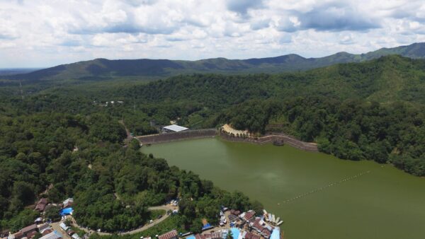
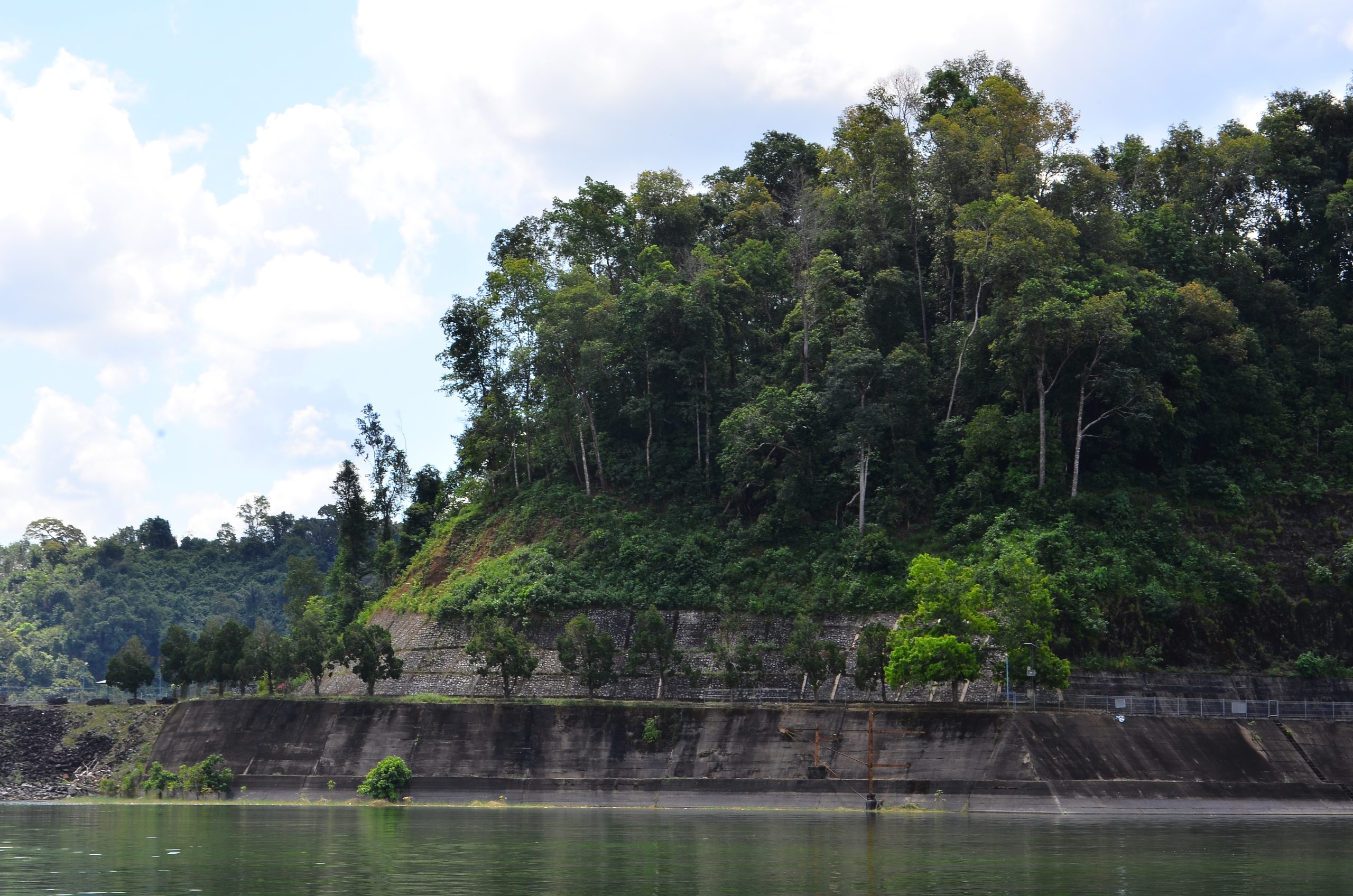
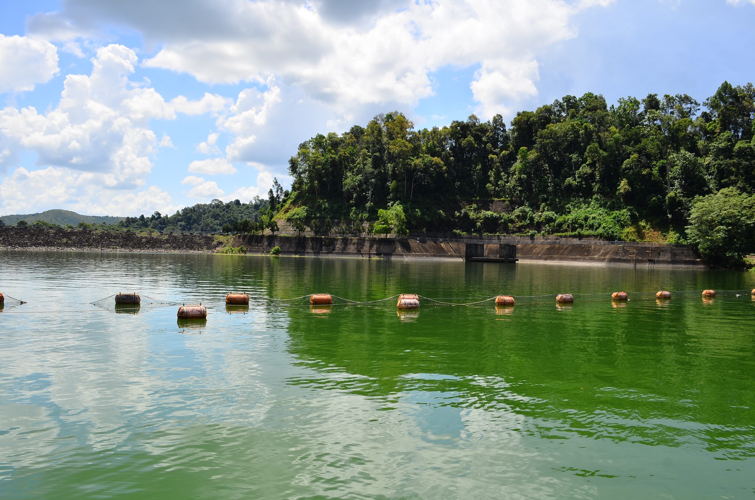
The Riam Kanan Dam Lake View is in Tiwingan Lama Village, Aranio District, Banjar Regency. It is 25 km from Banjarbaru City by motorcycle and car and continued by using an engine boat or what the local community calls “Klotok”. It was a result from the Metamorphic Rock Group aged 180-135 million years ago (Middle-Late Jurassic), it had a landscape in the form of a broad valley surrounded by quite high hills, and dammed several major rivers, one of it is the Riam Kanan River, the upper reaches of the Riam Kanan River being a catchment area. water in the form of dense tropical rain forest in the Meratus Mountains. The construction of this location was initiated in 1958 by Ir. PM Noor (the first Governor of South Kalimantan and the former Minister of Public Works in the era of Soekarno, the first President of the Republic of Indonesia) who is a Banjarese. The construction officially took 10 years completed from 1963 to 1973. The dam was inaugurated by the 2nd President of the Republic of Indonesia (M. Soeharto) and later named Ir.PM Noor Hydroelectric Power Plant or known as the Riam Kanan Dam has an area of 9,730 hectares, and in the process to damming rivers originating from Meratus Mountains, they need to submerged around 8 villages (Tiwingan, Kalaan, Banua Riam, Bunglai, Rantau Balai, Rantau Buju, Apuai and Minunggul), the residents then moved to higher ground including Tiwingan Lama Village, Tiwingan Baru, Liang Toman, Kalaan, Banua Riam, Bunglai, Bukit Batas, Apuai, Rantau Bujur, Belangian.