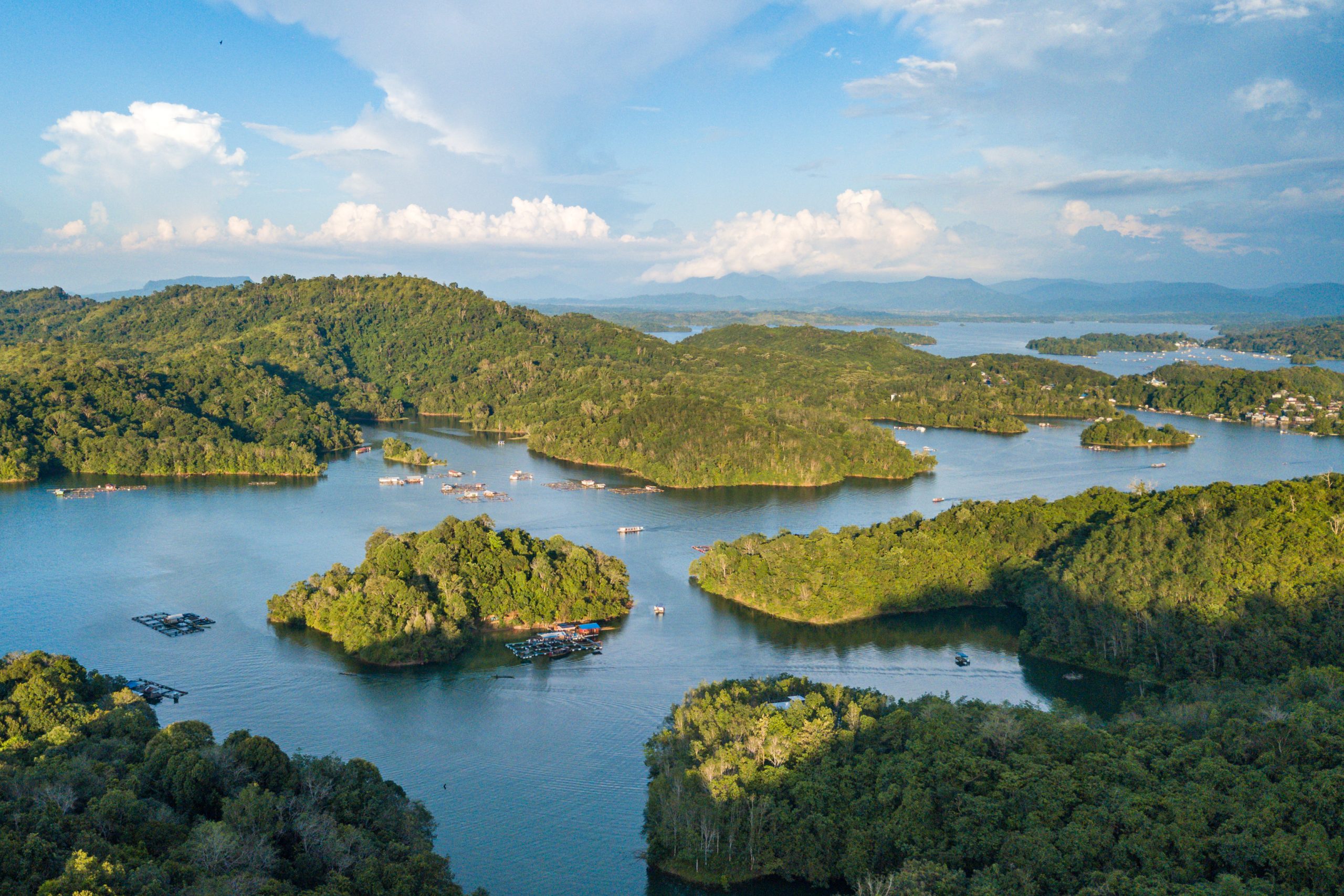
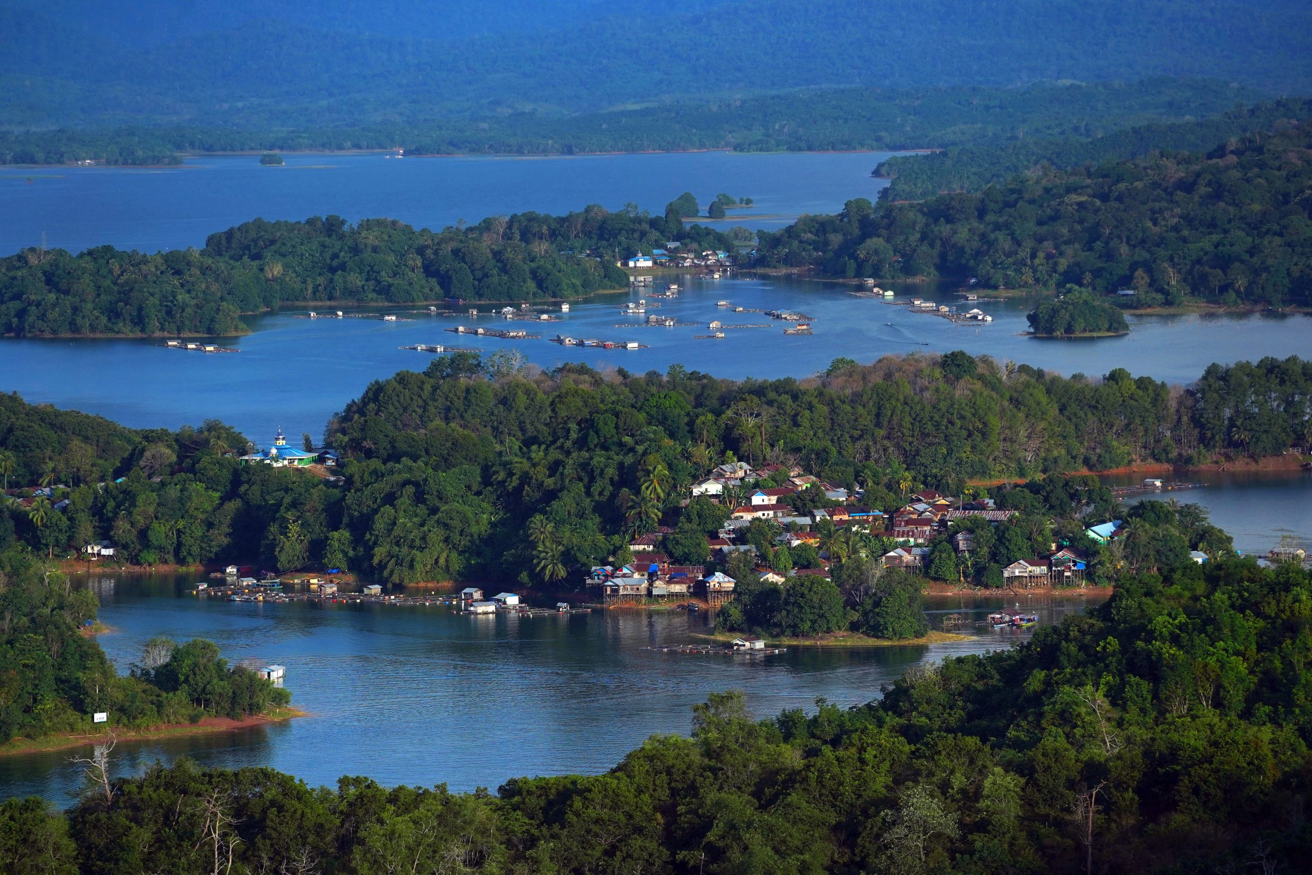
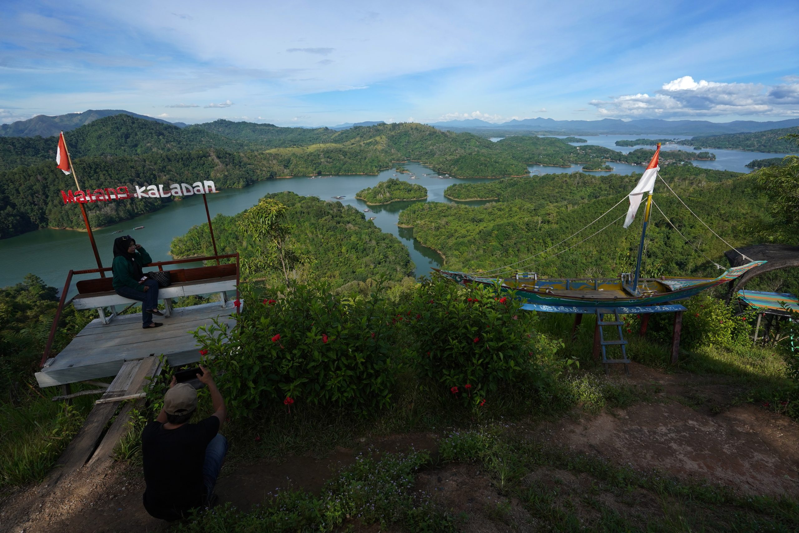
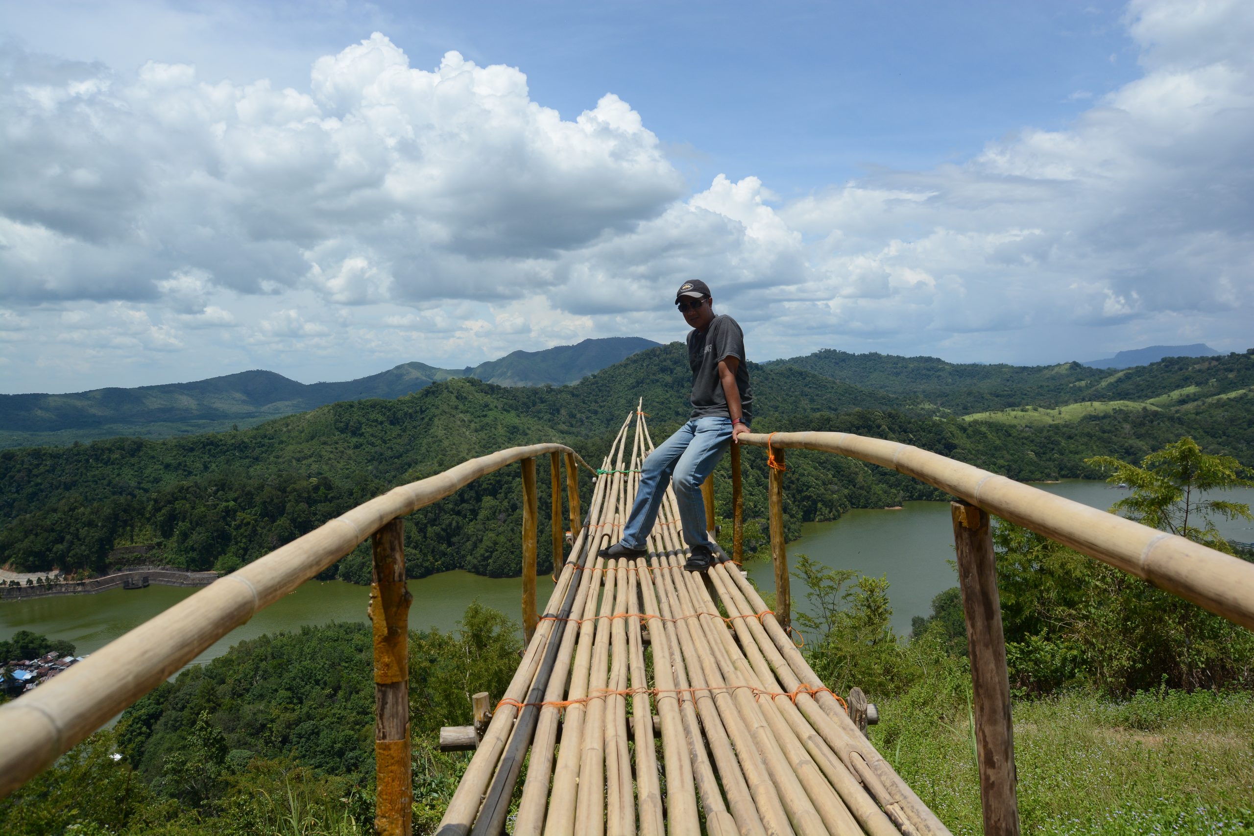
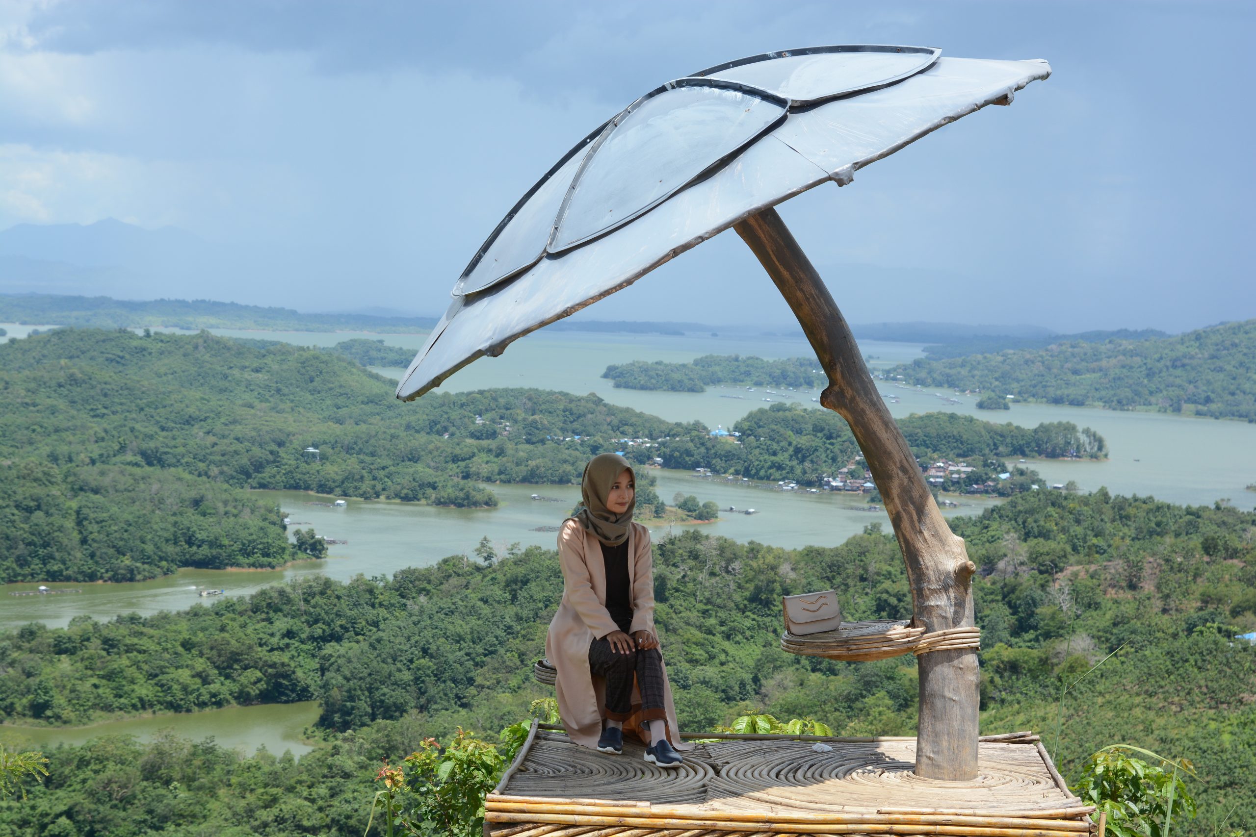
Matang Kaladan Panoramic View is in Tiwingan Lama Village, Aranio District, Banjar Regency. It is about 4 km from Sei Kambang Schist Stone, by motorcycle or car, the top about 1.6 km from nearest village by motorcycle or feet and 25 km from Banjarbaru City. The hill rocks composed of the Metamorphic Rock Group aged 180-135 million years ago (Middle-Late Jurassic), has a wavy morphology on the shores of Lake Riam Kanan. At the top, you can see a cluster of small islands around the lake. Apart from being a water catchment area, the existence of this lake is inseparable from the legendary story of the Lake Riam Kanan which originated from two brothers (Utuh Pujung and Anang) who lived at the top of Meratus, where the two brothers clashed each other’s great supernatural powers over a girl who is very beautiful (Galuh Sakadut). There was a tectonic volcano that released lava, sand, gold, Jumantan diamonds, iron ore, manganese, water amethyst, ruby red agate, kalulut buntat and zircon, which were accompanied by very heavy rains, causing the earth to split into two, namely rivers and cascades. Then the people around Meratus called it Riam Kanan, because Anang showed his magic with his right hand.