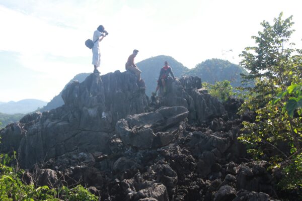
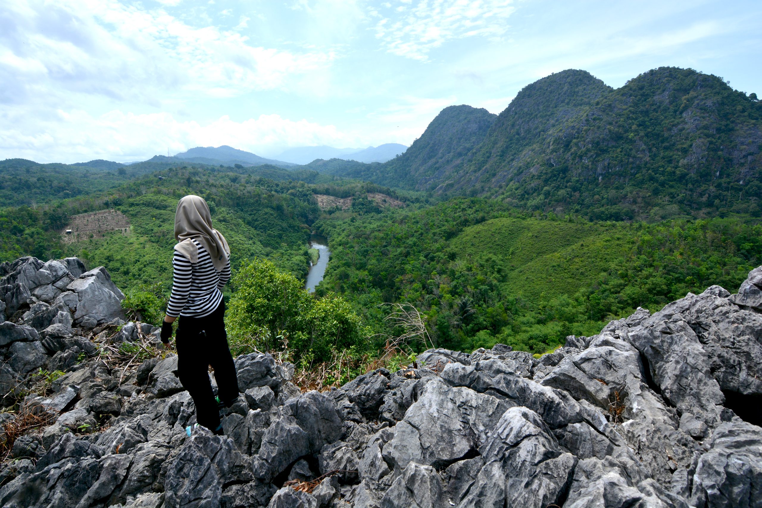
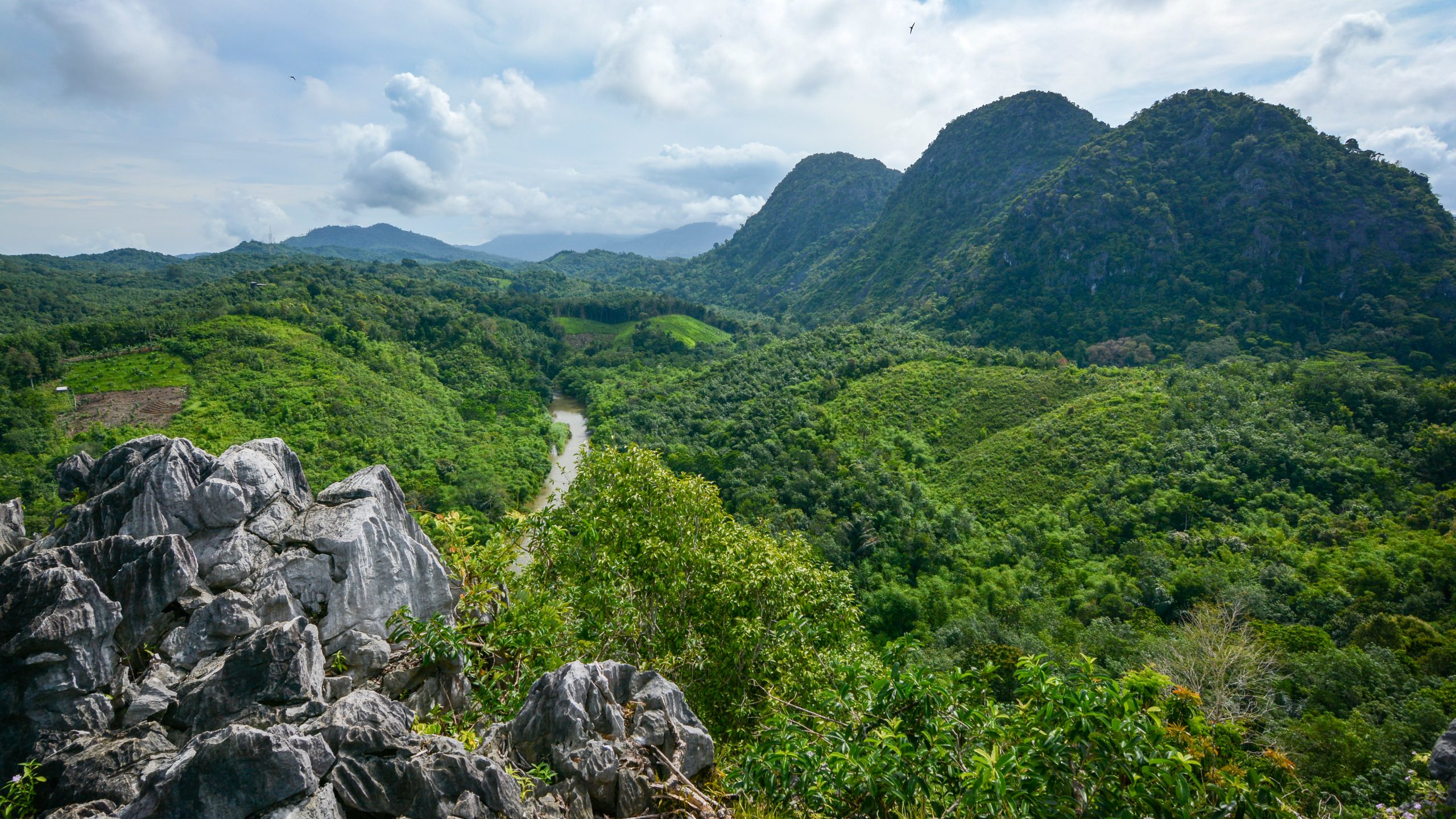
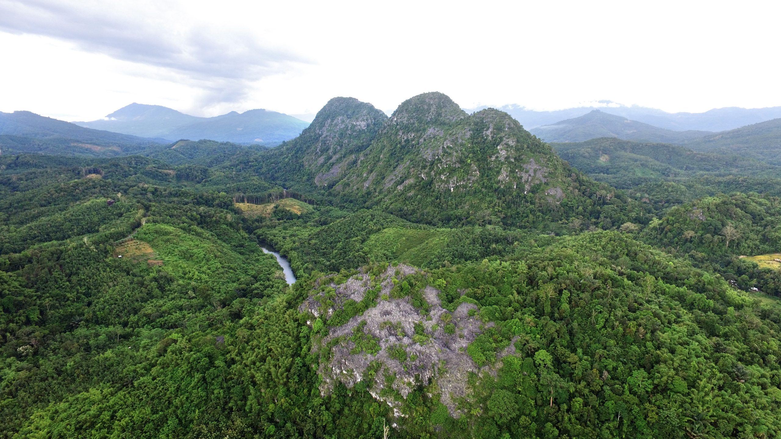
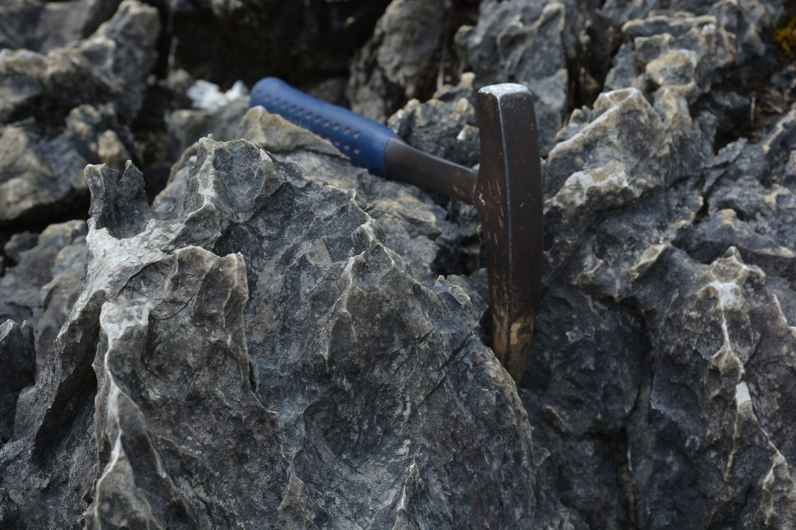
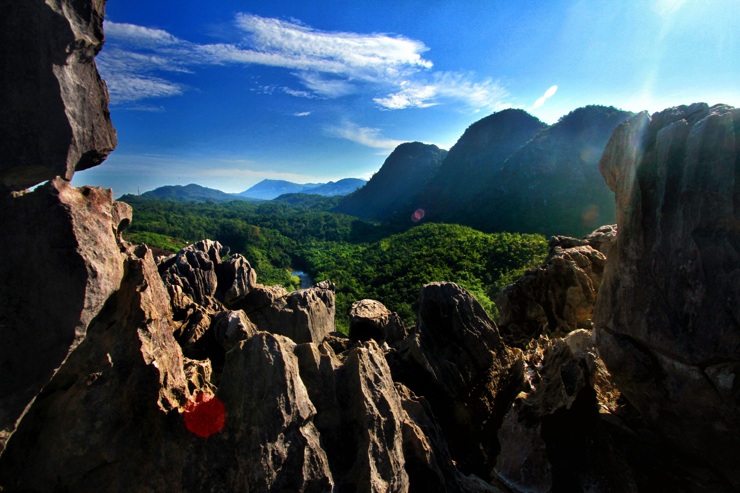
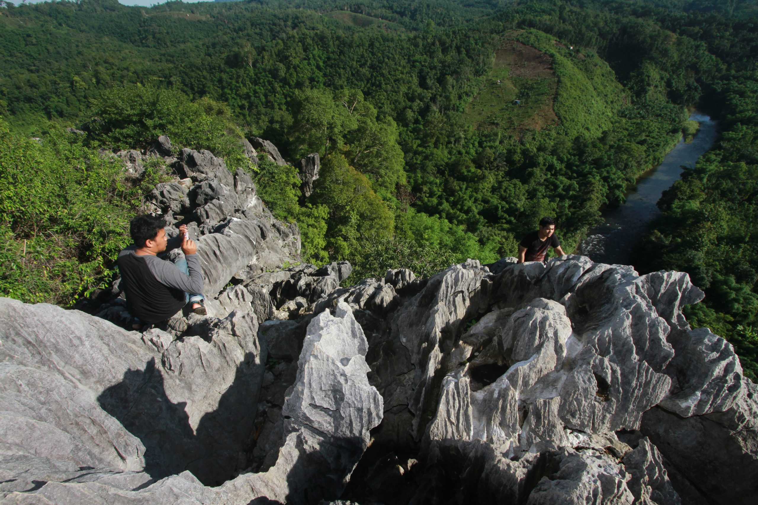
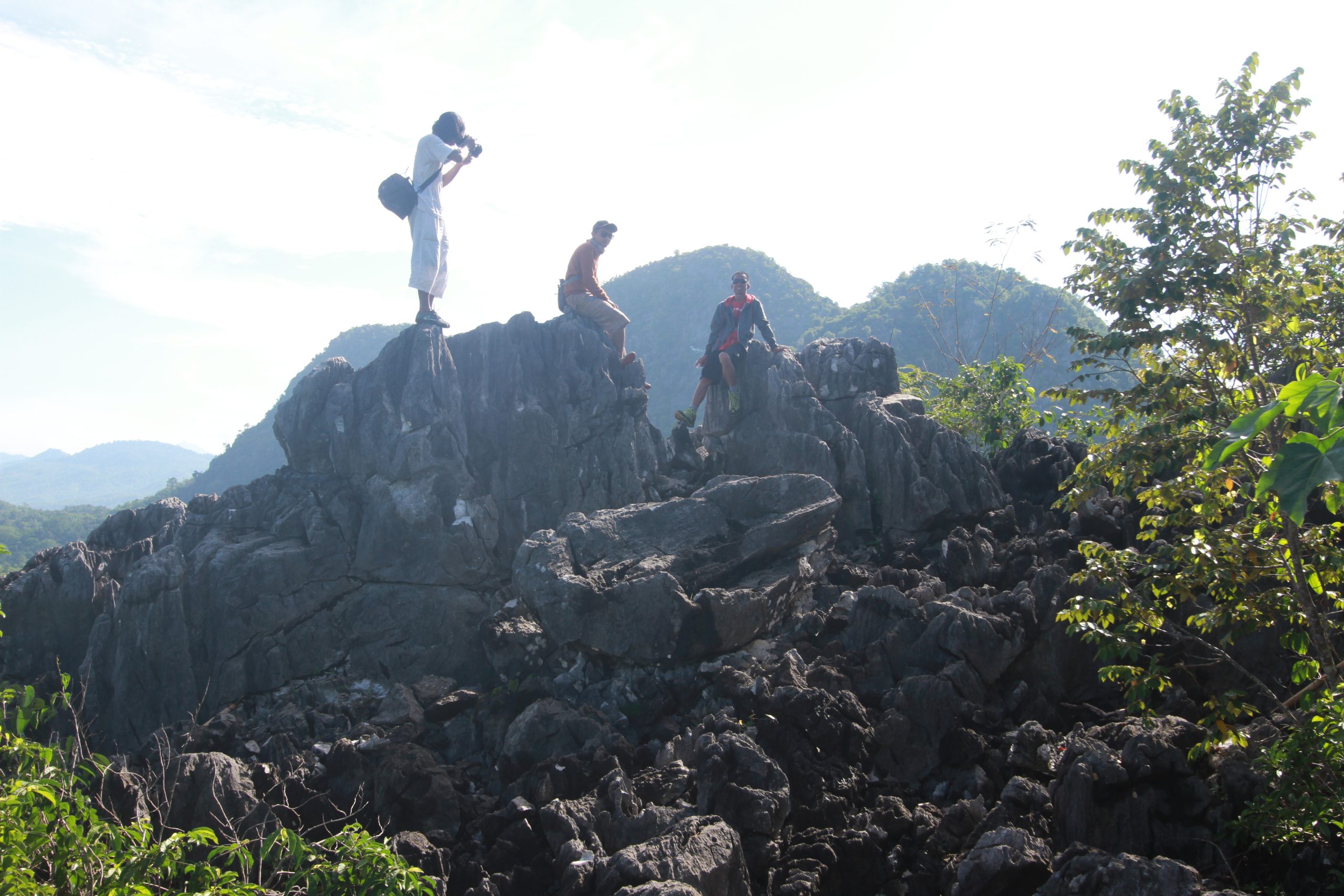
The Langara Panoramic View is in Lumpangi Village, Loksado District, Hulu Sungai Selatan Regency. It is 8 km from Tanuhi Hot Springs or 23 km from Kandangan City, Hulu Sungai Selatan Regency, by motorcycle or car Langara Hill about 200 meters above sea level was formed by geological processes composed of limestones from the Batununggal Formation aged 95-135 million years ago (Early Cretaceous) formed in front of the Patenoster Teran (Australia). When it was washed away in the Early Cretaceous era, before in the Middle Cretaceous it hit another pre-existing teran (SW Borneo/Schwaner), then the collision process made the limestone deformed, displaced and came into contact with ophiolite rocks and lifted to the surface after the impact. To get to the top of Langara Hill by hiking about 20-30 minutes (660 meters) from four vehicle parking lots. At the top of the hill we can see Kantawan Hill, the Amandit River and the Meratus Mountains at 3600.