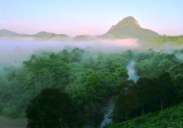
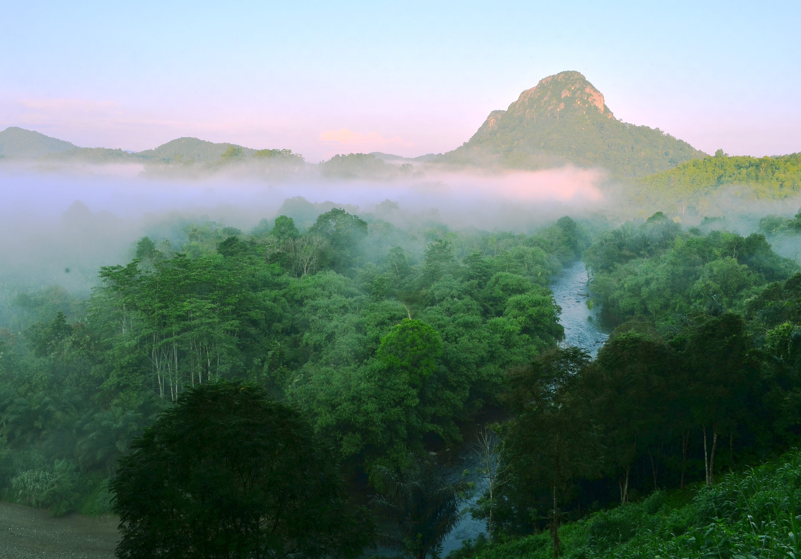
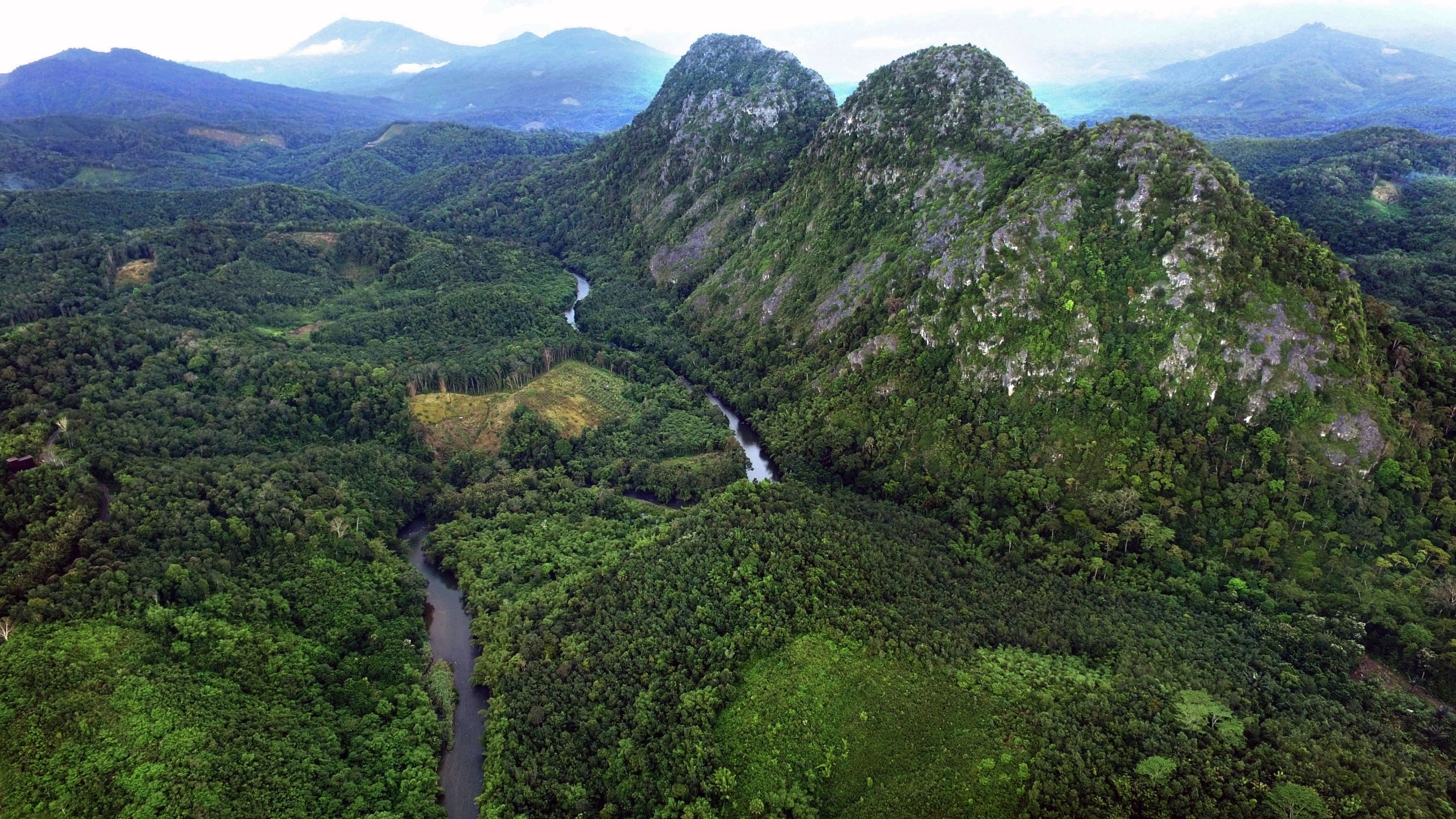
The Kantawan Hill Scenic View is in Lumpangi Village, Loksado District, Hulu Sungai Selatan Regency. It is 5 km from the Bamboo Rafting or32 km from Kandangan City, Hulu Sungai Selatan Regency, by motorcycle or car Kantawan Hill Scenic View about 400 meters above sea level was formed by earth events (geology) which composed of limestones of the Batununggal Formation aged 95-135 million years ago (Early Cretaceous), these limestones were formed in front of the Patenoster teran (Australia ) when it was washed away in the Early Cretaceous era, before in the Middle Cretaceous it hit another pre-existing teran (SW Borneo/ Schwaner), then the collision process made the limestone deformed, displaced and then came into contact with ophiolite rocks and lifted to the surface after the impact. In 1979 the forest area on Kantawan Hill became a Nature Reserve area (Decree of the Minister of Agriculture No. 109/Kpts-Um/2/1979).