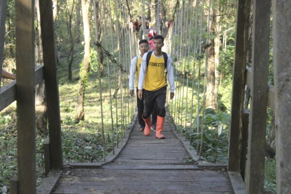
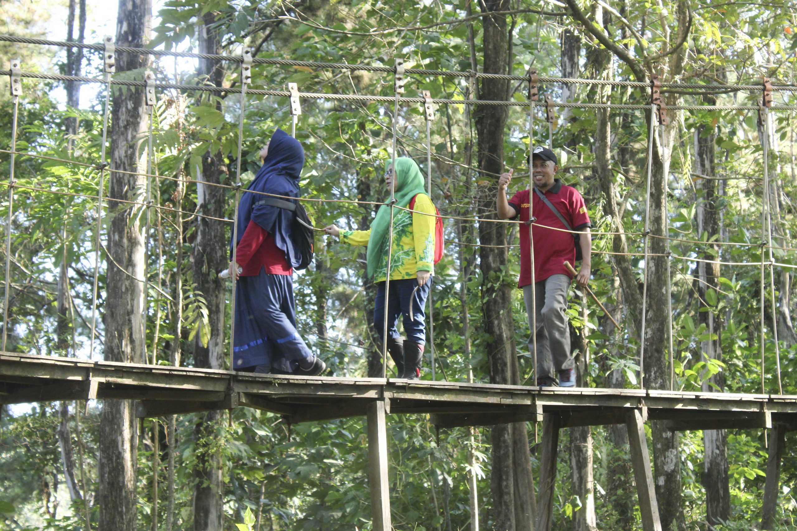
Situs Ulin is a biological site located geographically at coordinates 30°32’4.10″ South Latitude and 115°1’39.06″ East Longitude, and administratively situated in Tiwingan Lama Village, Aranio District, Banjar Regency. The site is approximately 24 km away from Banjarbaru City and can be reached by two/four-wheeled vehicles, followed by a journey on an engine boat locally known as “klotok.”
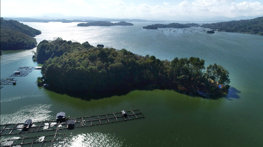
This site is part of the East Route journey with the theme “Impressive Voyage Through the History of Earth and Humanity,” signifying Matang Kaladan Hill as an observation tower to enjoy the vastness of the artificial lake. The lake holds the history of the Submerged Village with all its stories, as well as the Earth’s history with Submarine Volcanoes, the archaeological site of Stone Axes, and even Diamonds. The lake also promises a future for those who endure.
The location is composed of rocks formed by geological events originating from the Paau Formation, dating back 59-65 million years ago (Late Cretaceous). It forms an island in Riam Kanan Lake, consisting of gray-black volcanic breccia rocks and andesitic basalt components, with a rock formation thickness of about 750 meters.
Covering an area of approximately 4.5 hectares, the site was initially used as a breeding and conservation area for deer before they were relocated to Tahura Sultan Adam Mandiangin. Currently, the location is used as a conservation site for endemic tropical rainforest trees typical of the Meratus Mountains, specifically the Ulin tree.
The Ulin tree is one of the native trees of Indonesia’s wet tropical forests and grows exclusively on the island of Borneo. Ulin wood (Eusideroxylon zwageri T.&B), as a component of the tropical rainforest in Kalimantan, has been classified by the International Union of Conservation (IUCN) in 2003 as “Vulnerable,” indicating it is at risk of extinction. The tree can reach a height of 35-50 m, with a branch-free stem length of 5-20 m, a diameter of 60-80 cm, and occasionally reaching 120 cm. Ulin thrives optimally at a temperature of 25-32°C, with less than 3 dry months per year, and annual rainfall exceeding 2,000 mm. The tree prefers medium soil permeability, sandy clay texture, effective soil depth greater than 50 cm, soil porosity of 55-65%, water field capacity exceeding 45%, and available nutrients that do not require sufficient nutrient supply, with low-grade C-organic content and a slope of less than 25%.