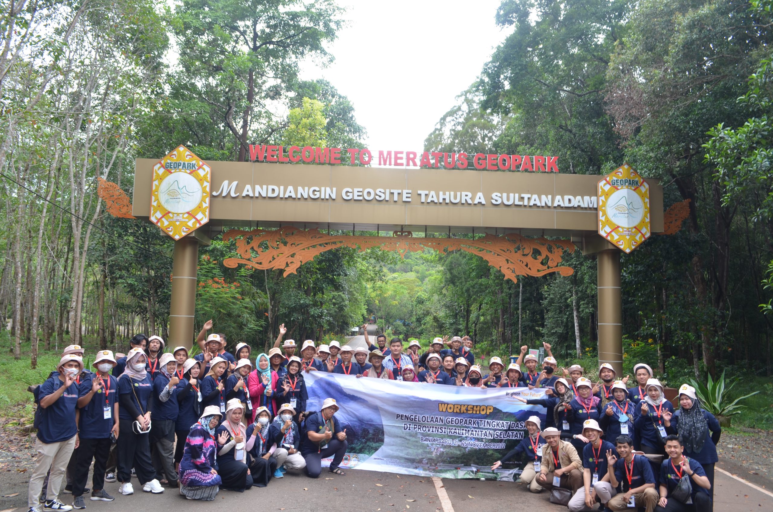
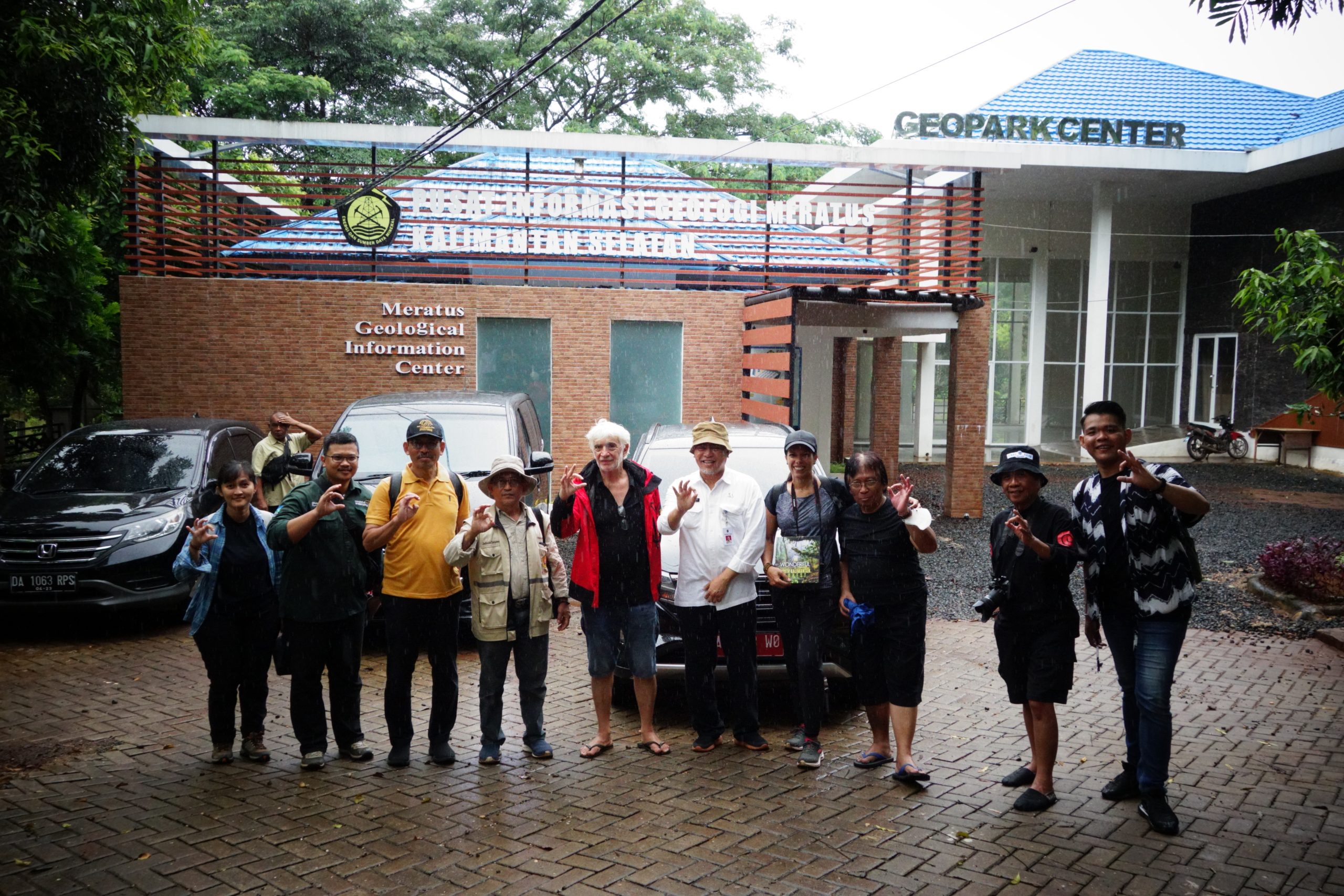
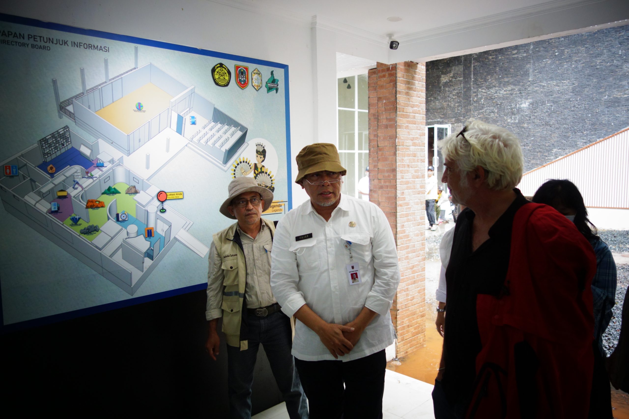
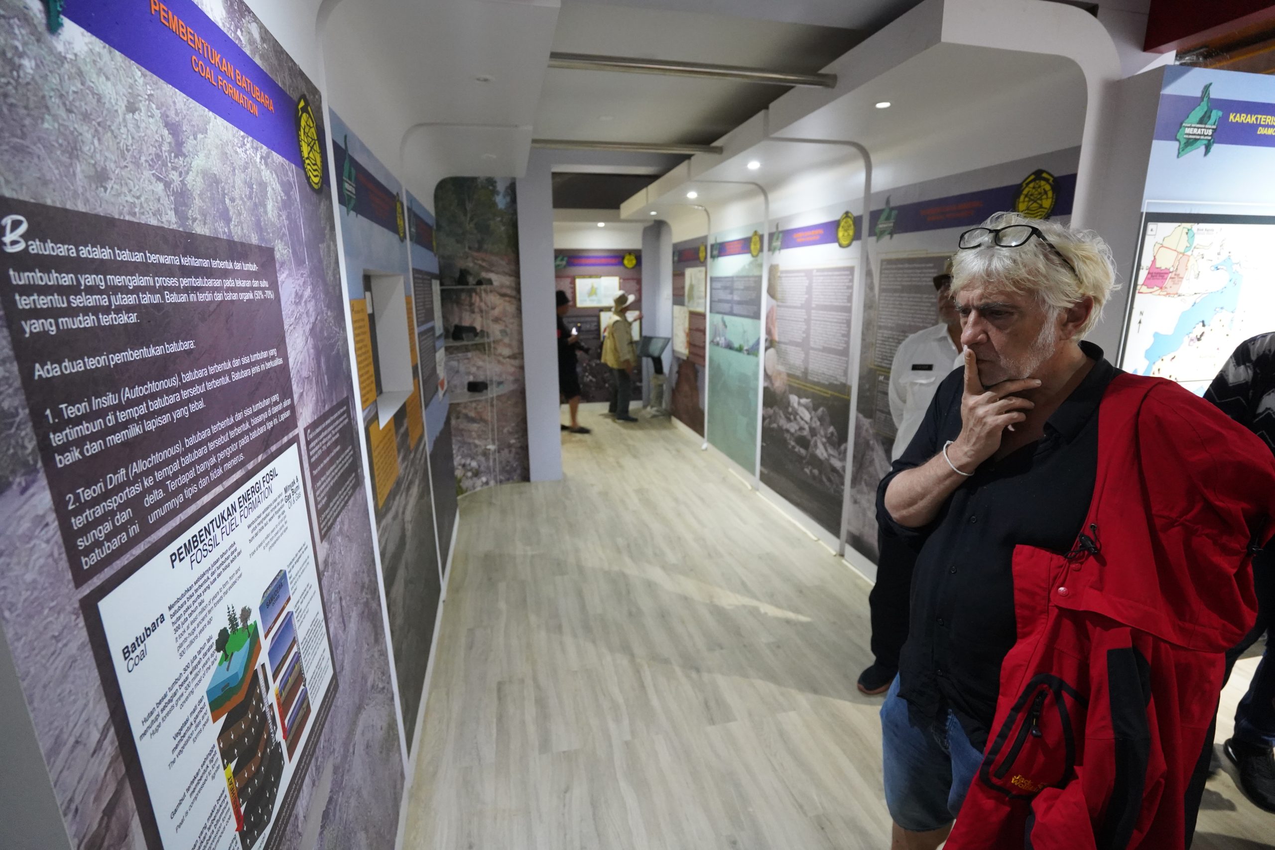
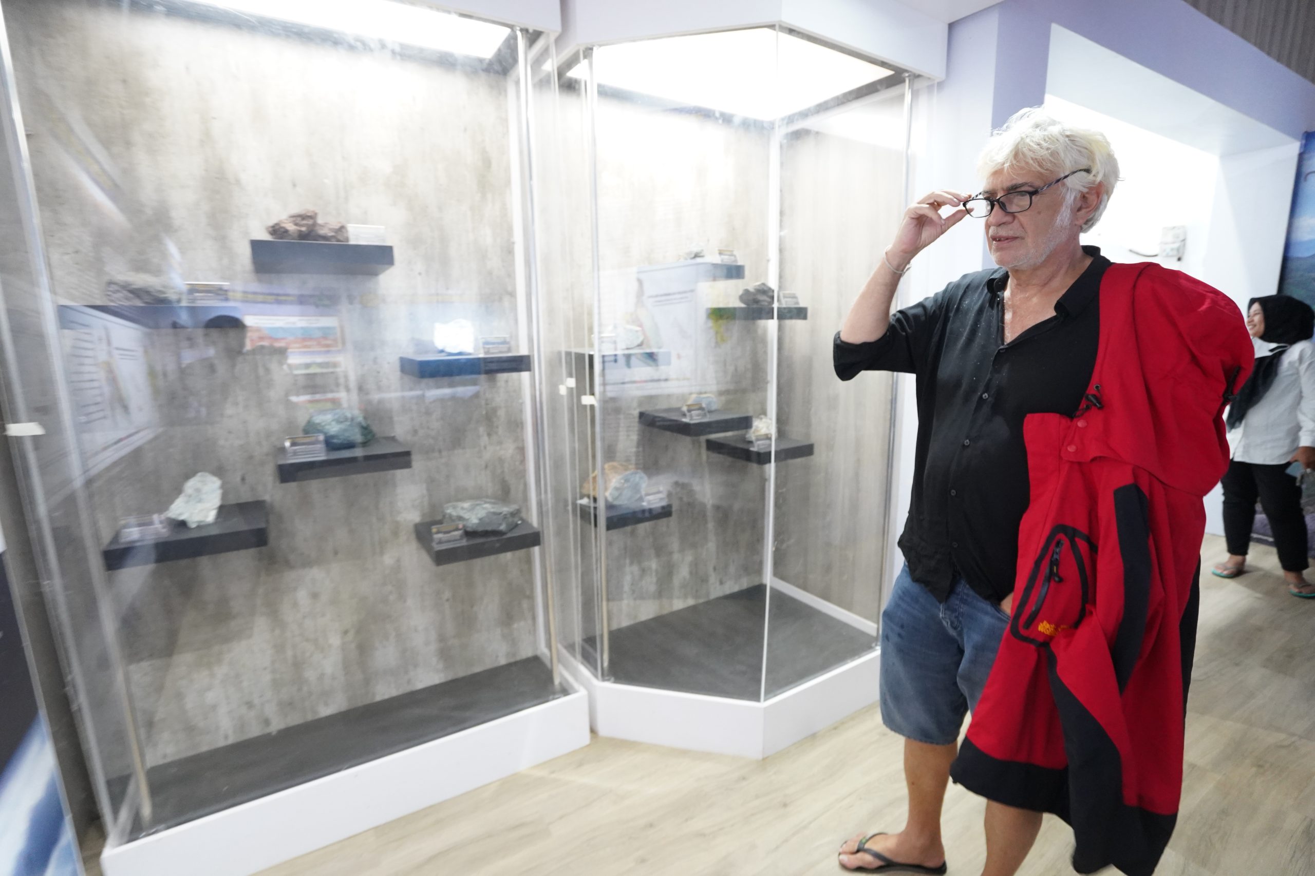
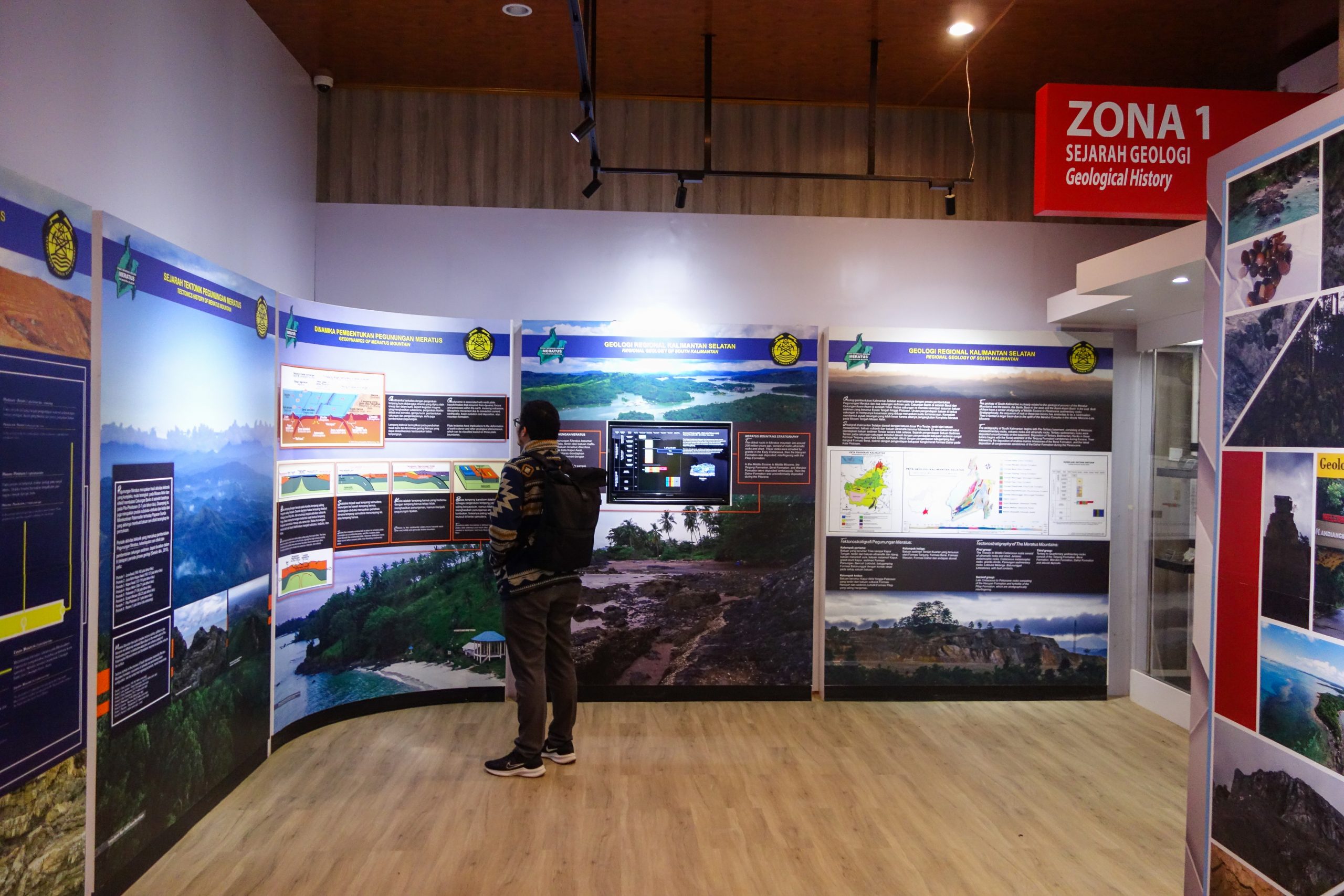
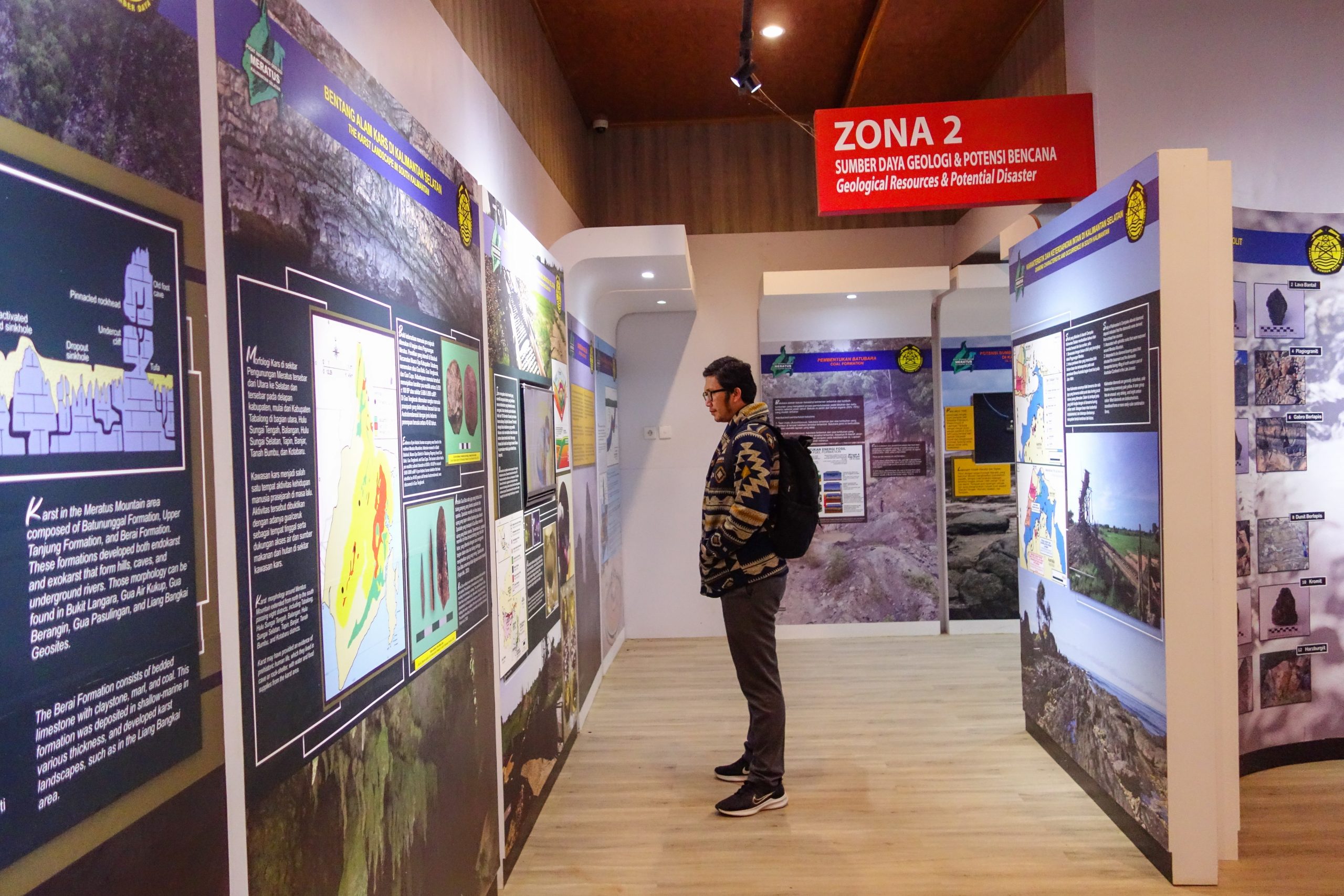
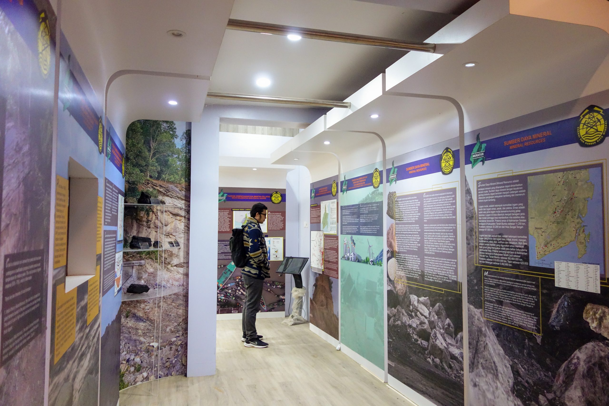
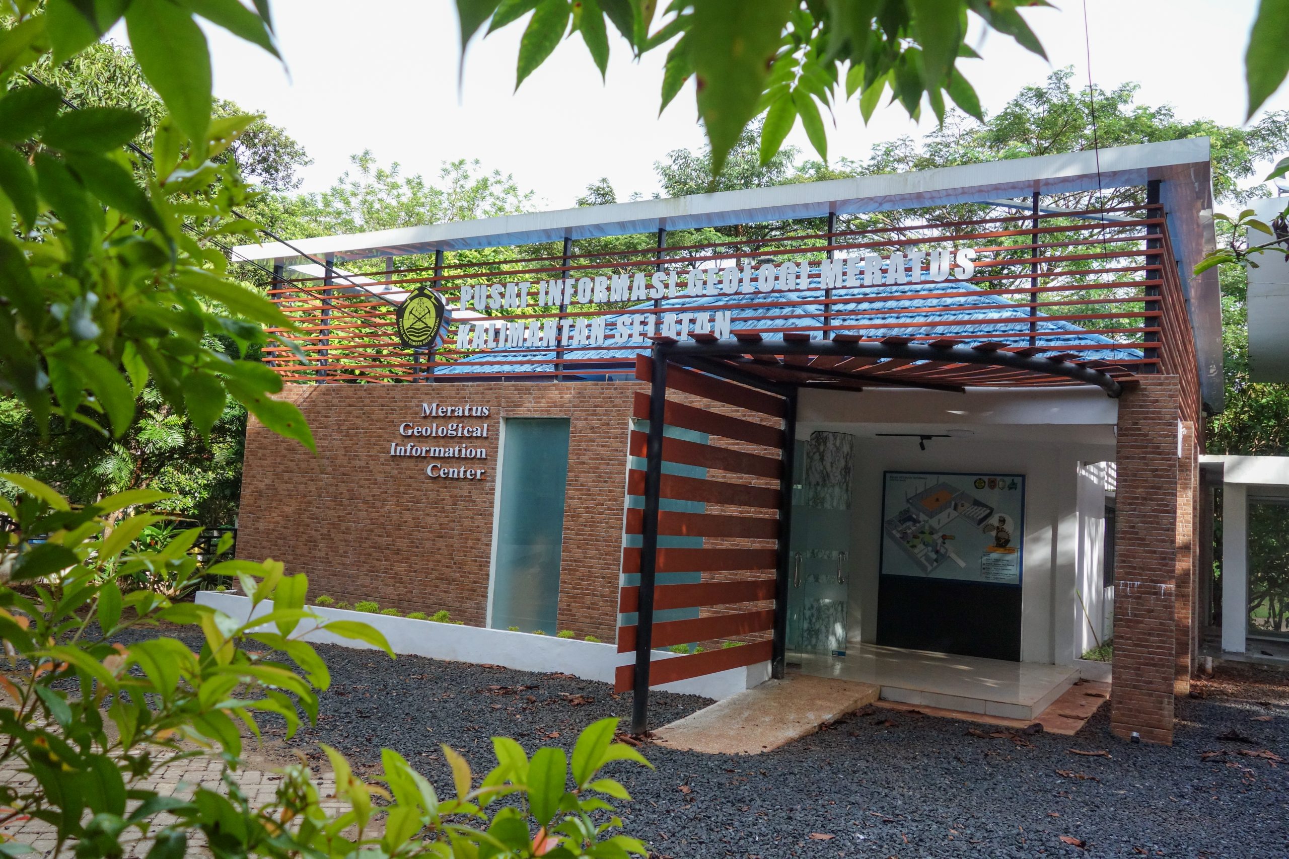
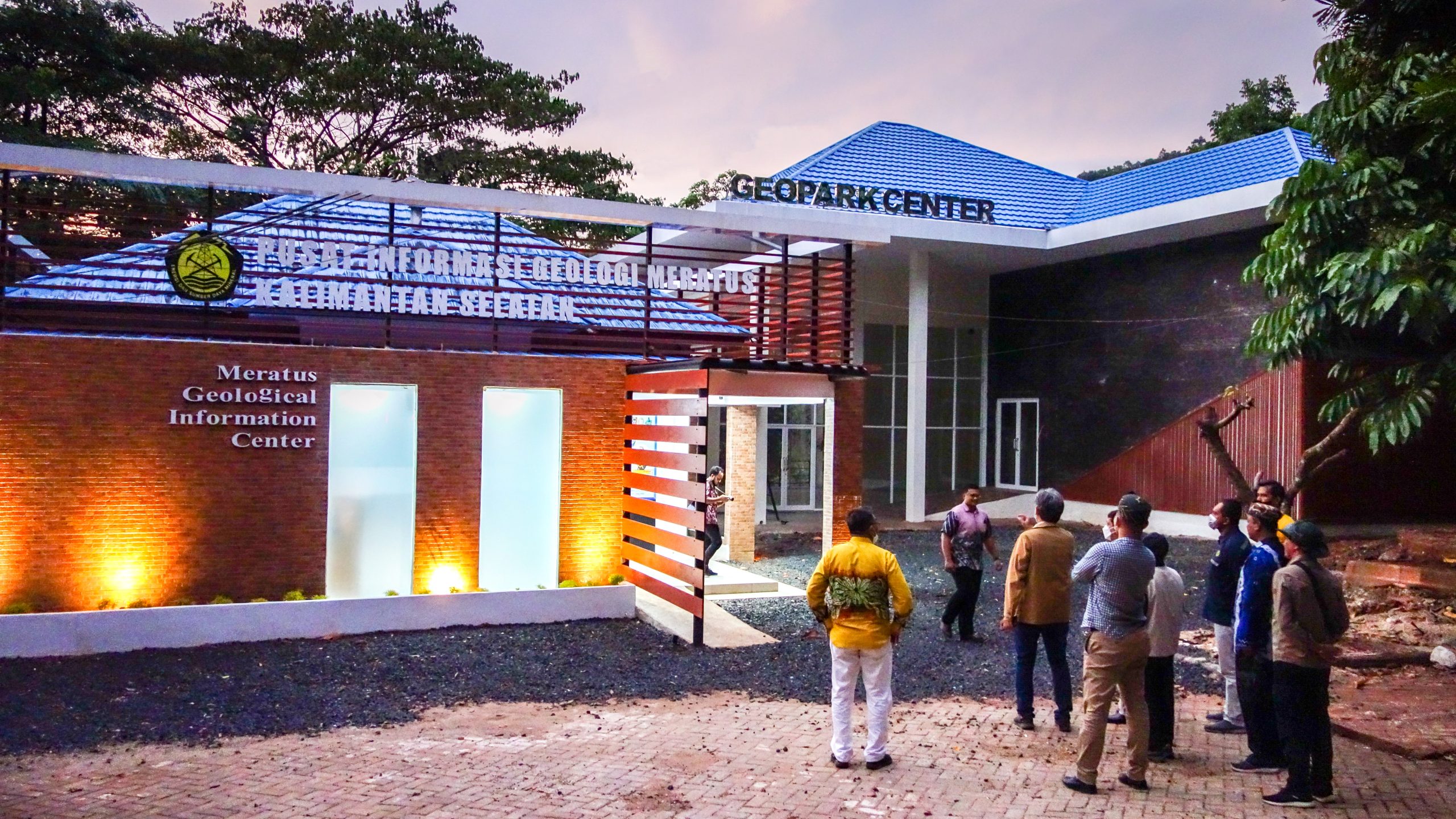
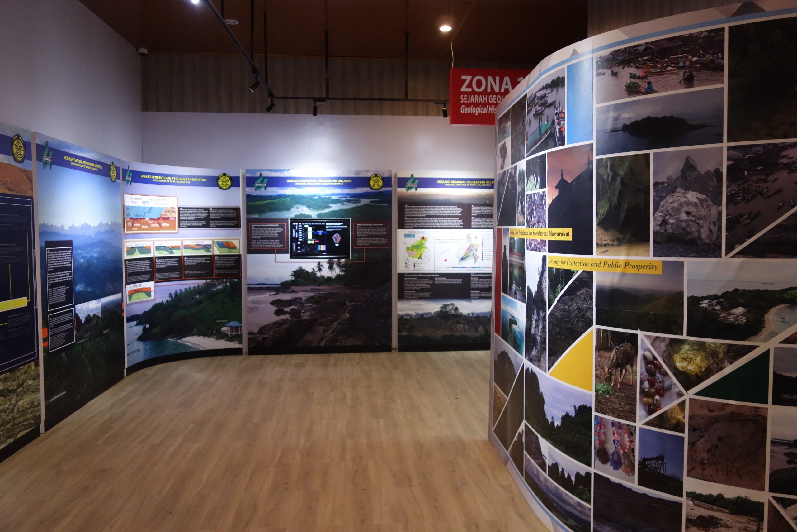
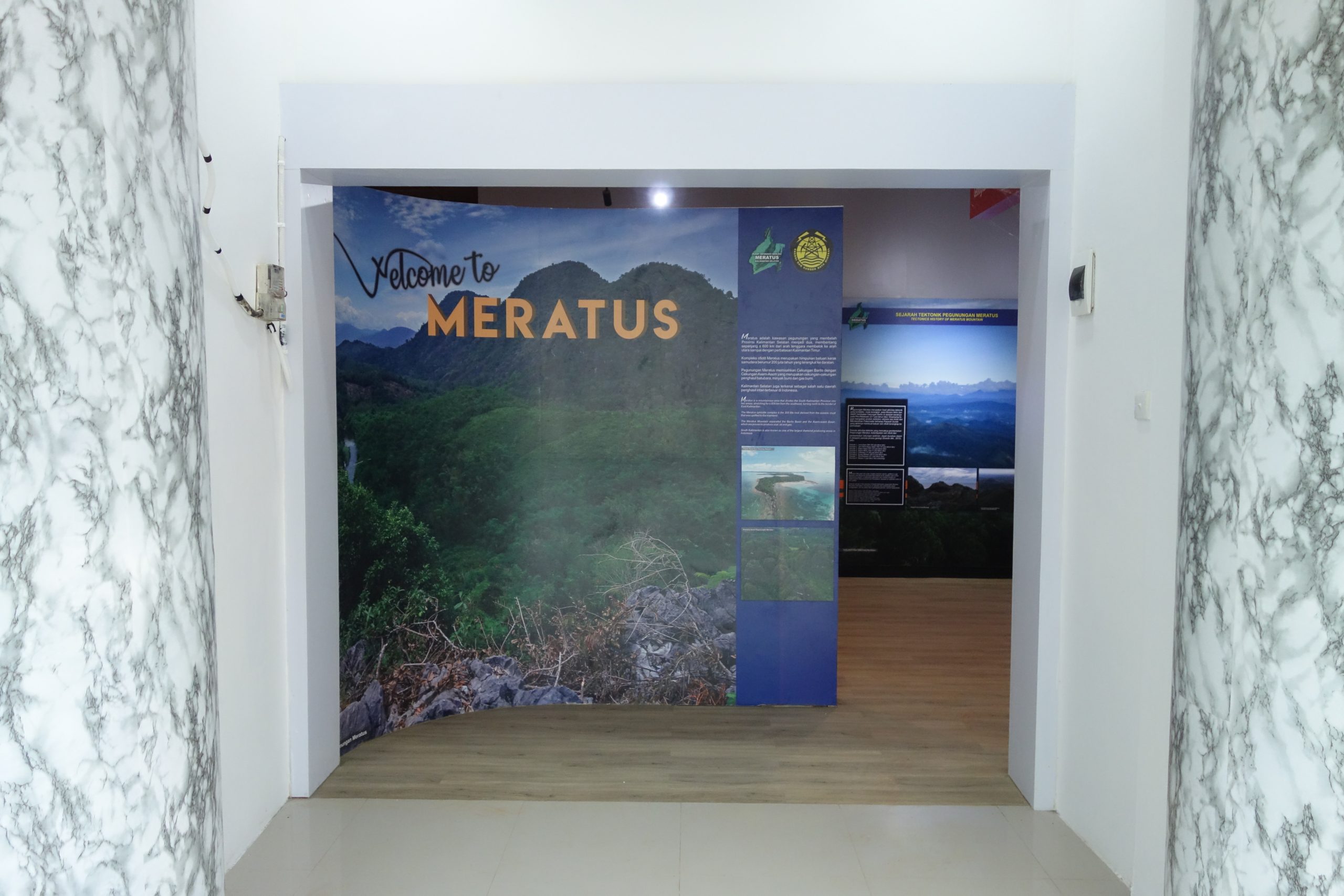
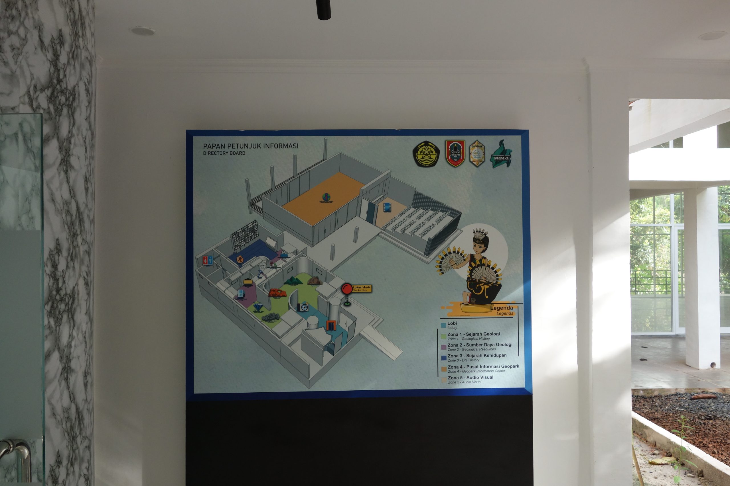
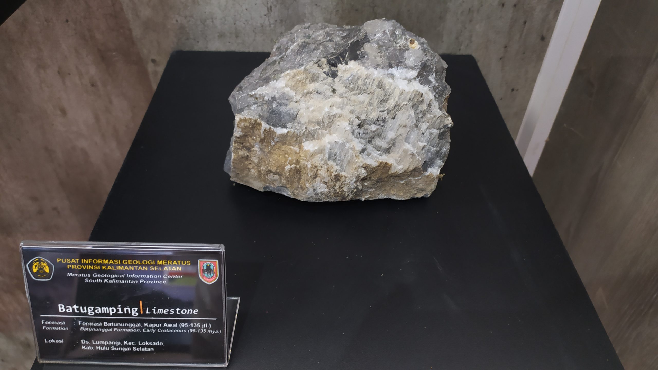
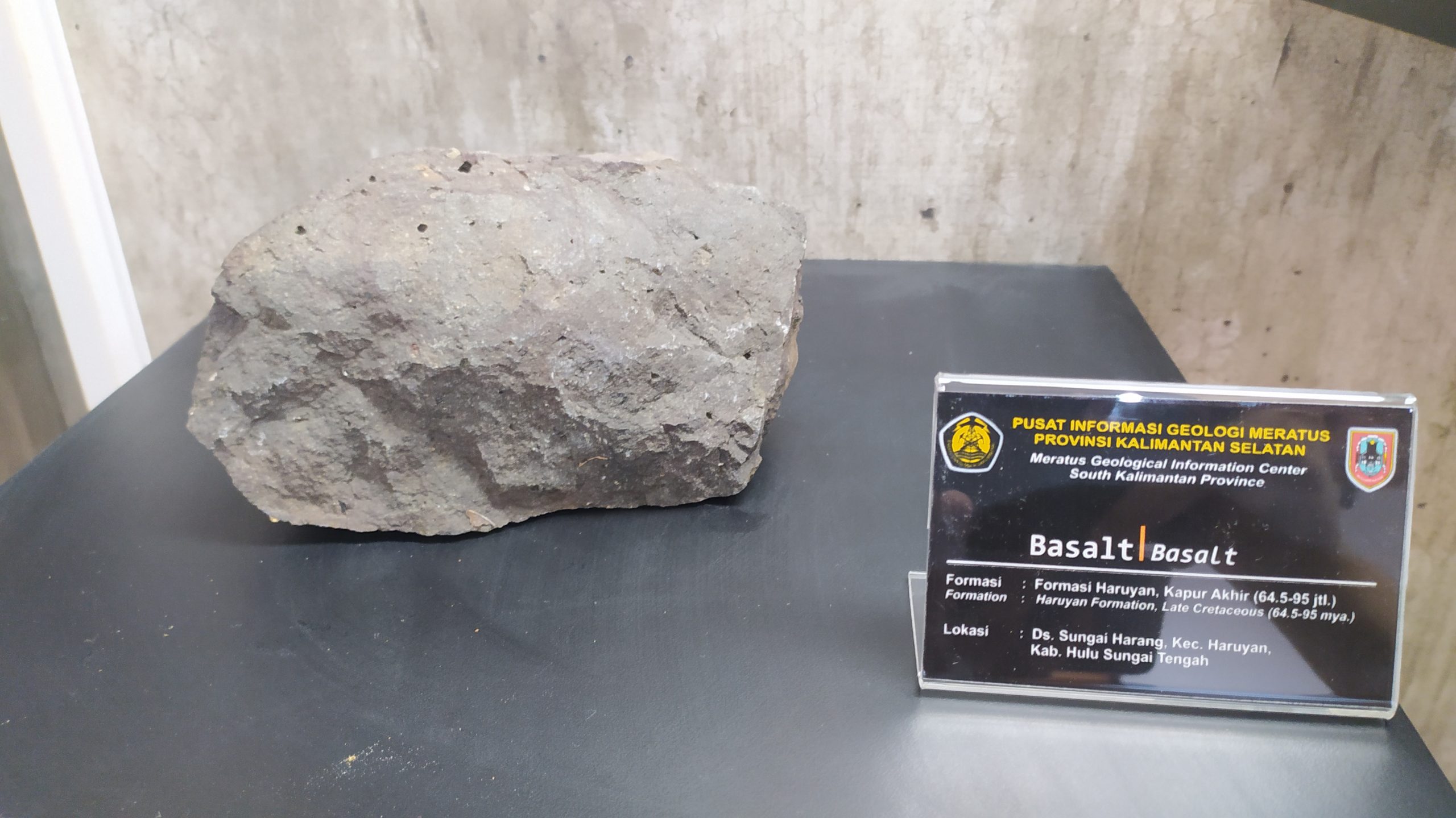
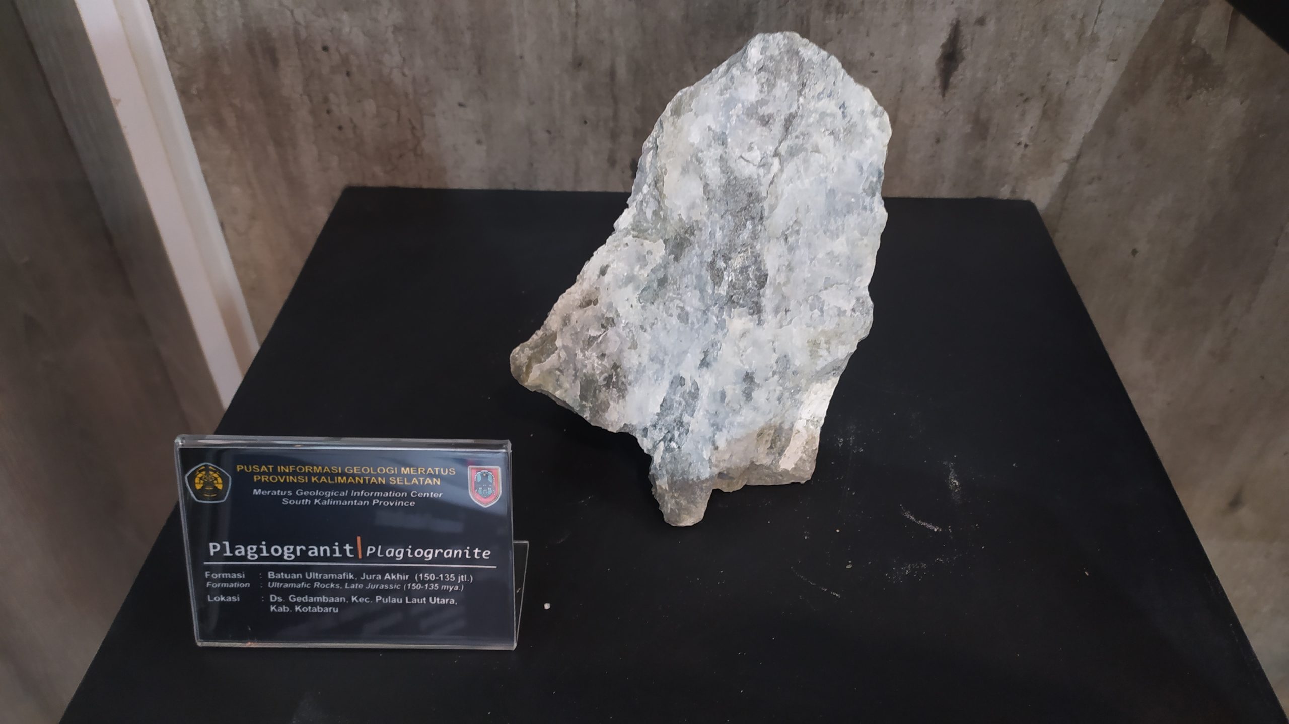
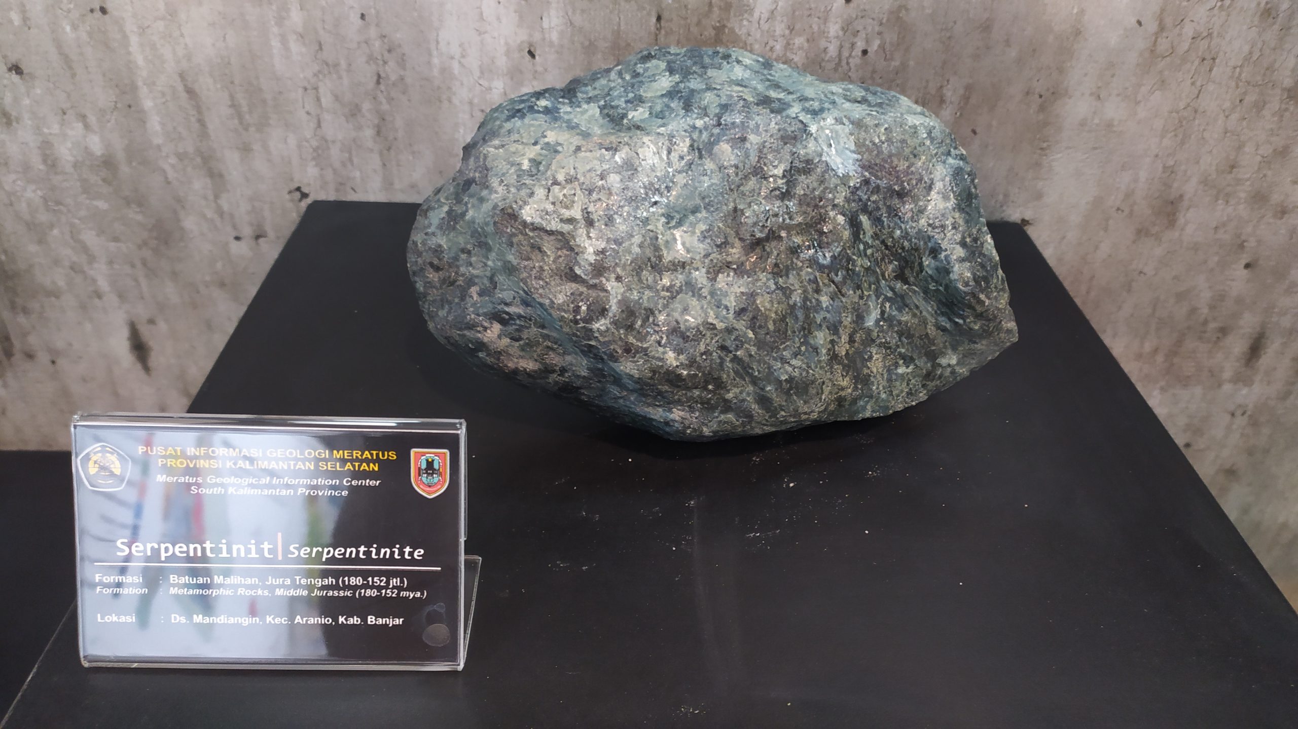
Geopark Information Center is in Mandiangin Village, Aranio District, Banjar Regency. It is about 17 km from Lambung Mangkurat Museum by motorcycle and car. It is located in Sultan Adam Mandiangin Forest Area (Tahura) with 3 buildings named Meratus Geological Information Center, Meratus Geopark Information Center (Geopark Center), and the Geo-Theater, each integrated so that they can provide complete information.