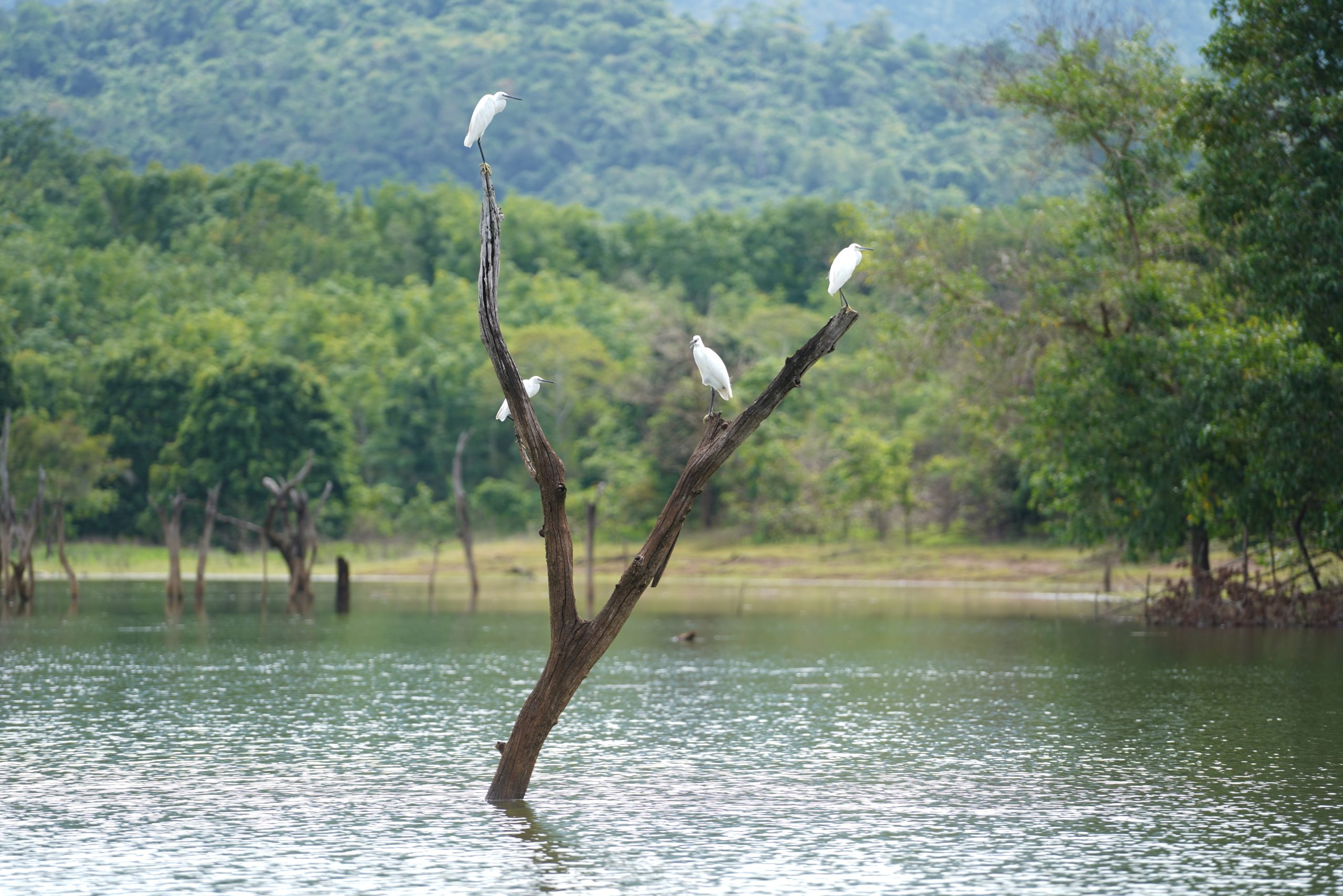
The Drowned Sacred Tomb is in the Riam Kanan Lake, Belangian Village, Aranio District, Banjar Regency. This location is still in one area with the Drowned Sacred Tomb. The location is in the middle of the lake, indicated that the bottom of the lake rocks from earth events (geology) originating from the Manungul Formation which was 59-65 million years ago (Late Cretaceous) and deposited in this submarine fan depositional environment, there are villages that drowned along with 8 villages that were drowned during the construction of the Riam Kanan Dam. The construction of the Ir.PM Noor Hydroelectric Dam (PLTA) or known as the Riam Kanan Dam, which took about 10 years, started in 1963 and was completed around 1973, submerging around 8 villages (Tiwingan, Kalaan, Banua Riam, Bunglai, Rantau Balai, Rantau Buju, Apuai and Minunggul), people then moved to higher ground, including the Villages of Old Tiwingan, Tiwingan Baru, Liang Toman, Kalaan, Banua Riam, Bunglai, Bukit Batas, Apuai, Rantau Longitude, Balangian , etc.