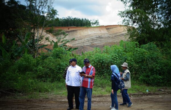
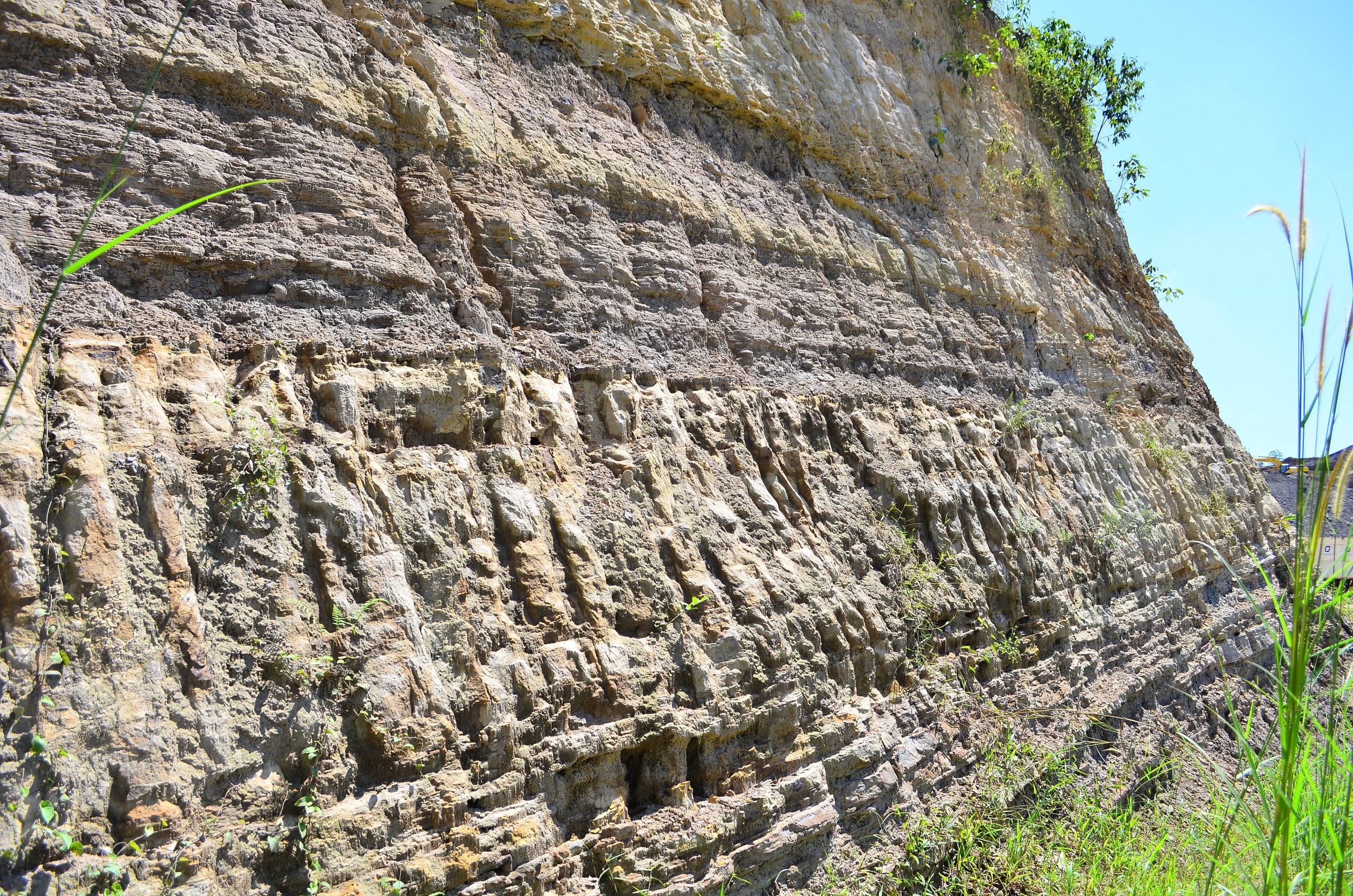
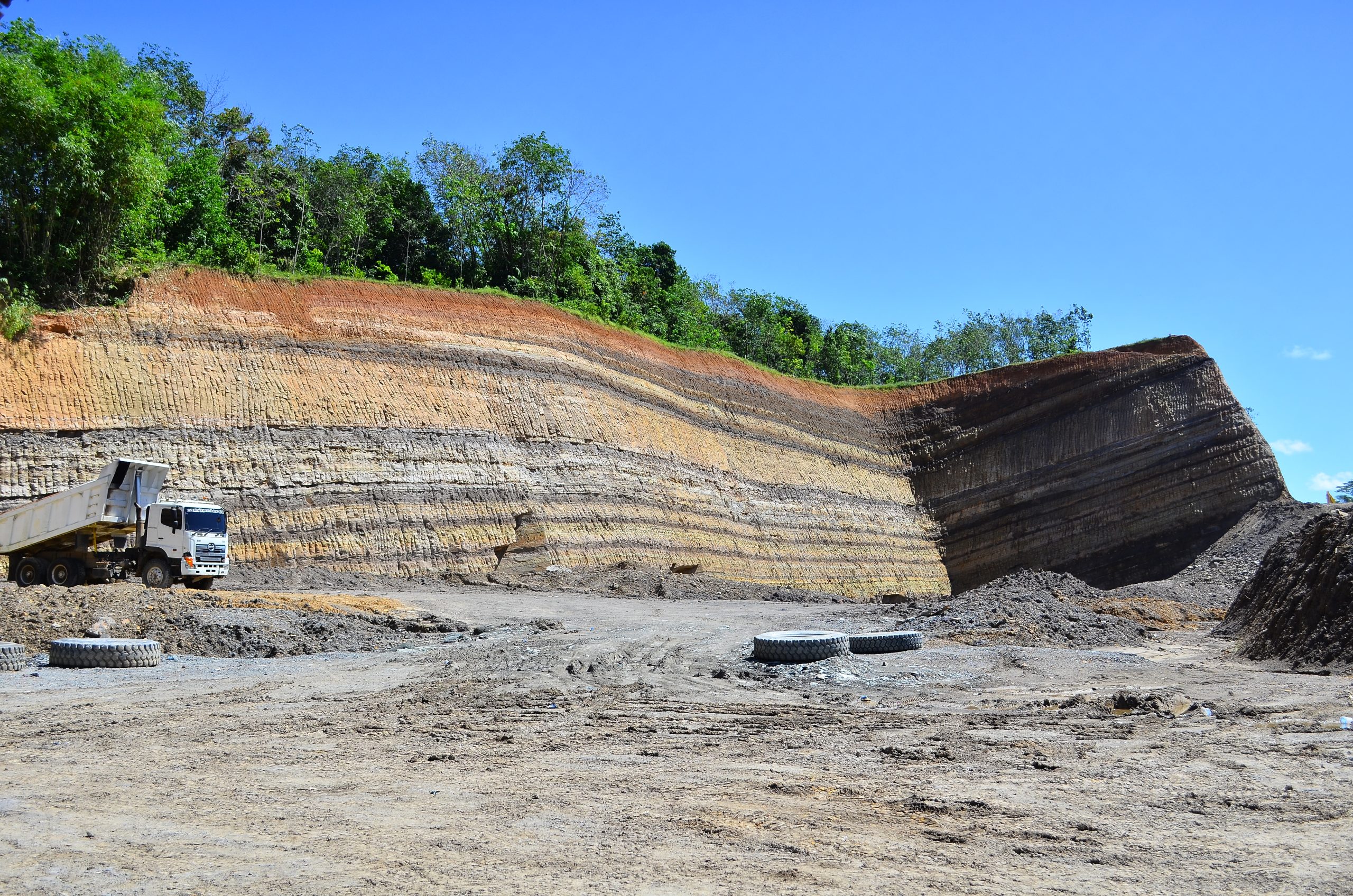
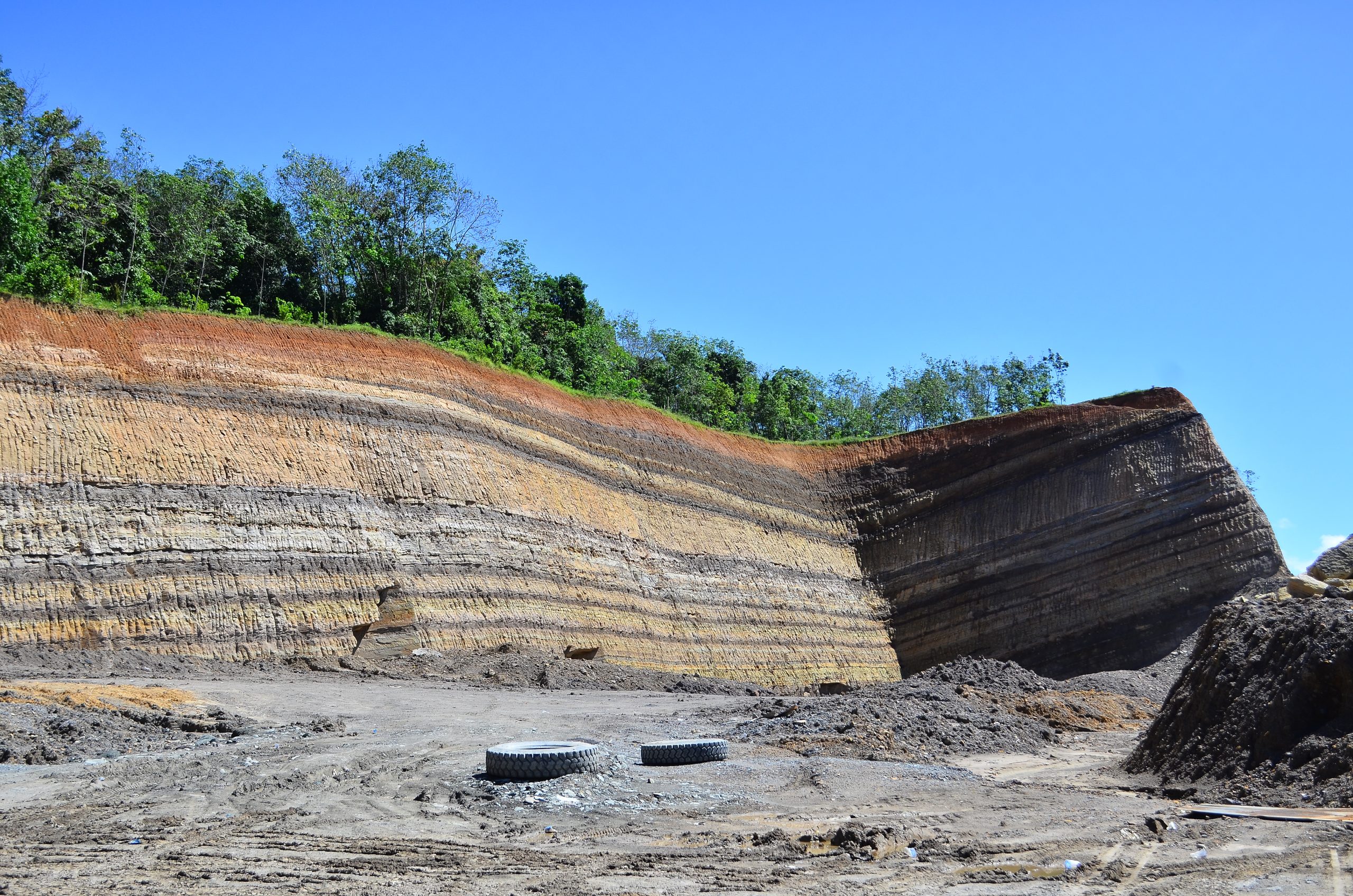
The Coal Outcrop is in Lawiran Village, Pengaron District, Banjar Regency. It is 35 km from the Bubungan Tinggi Traditional and the Gajah Baliku House by motorcycle or car. The coal at this area is part of the Tanjung Formation from 65-36.5 million years ago (Eocene) and formed in a paralic to shallow marine depositional environment which is part of the Barito Basin. Coal can generally be used as a fuel source for power plants, to produce various gas products, to support industrial sector (steel, agricultural fertilizer production, contribute in production of the aluminum industry, to assist the paper industry, to help cement production, become fuel in liquid form, becaming a PLTU.