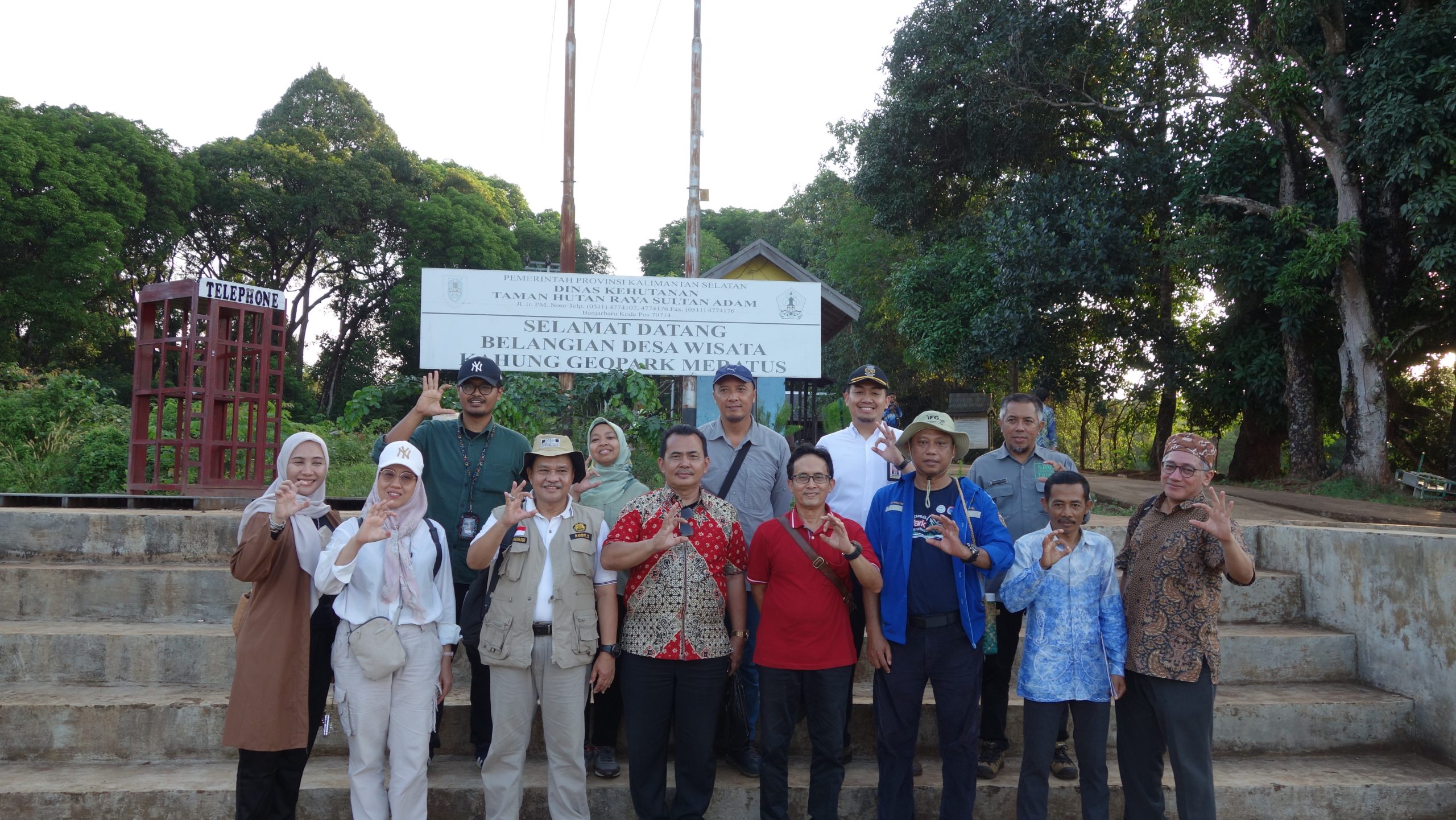
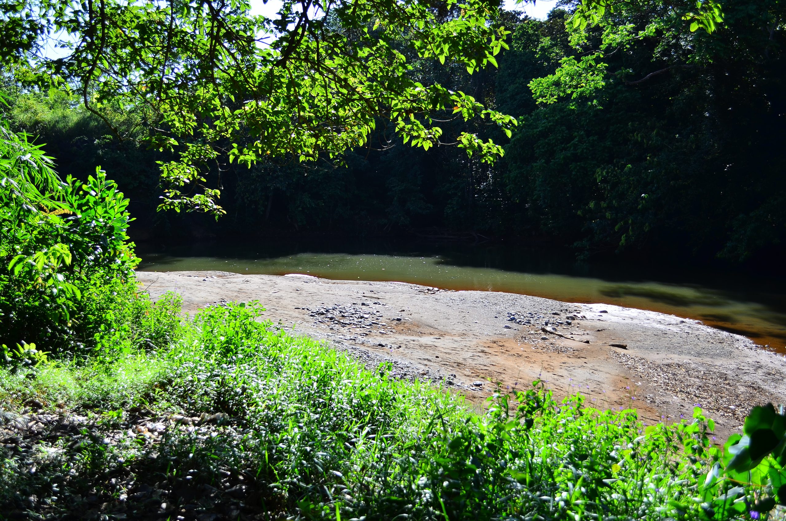
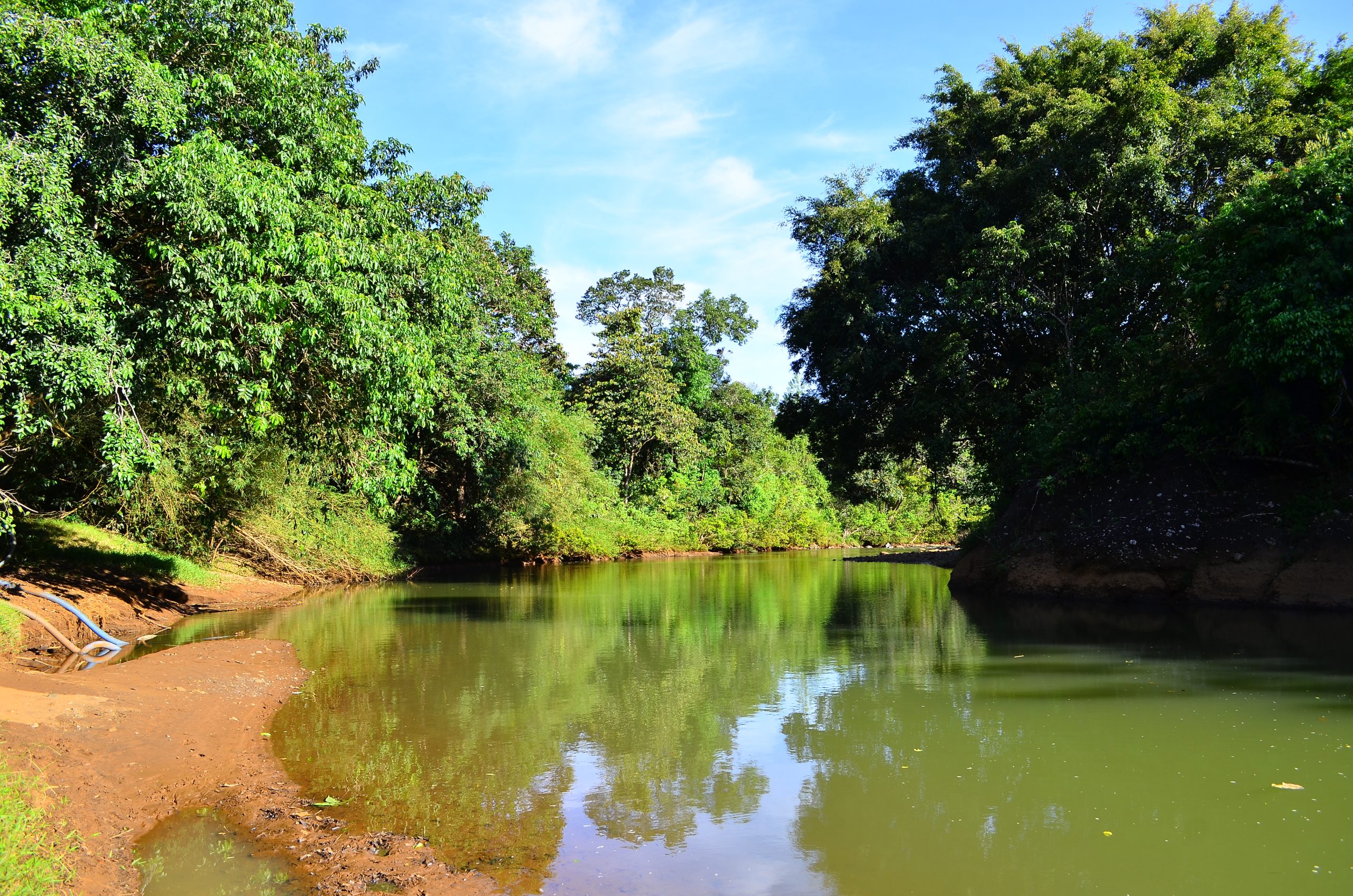
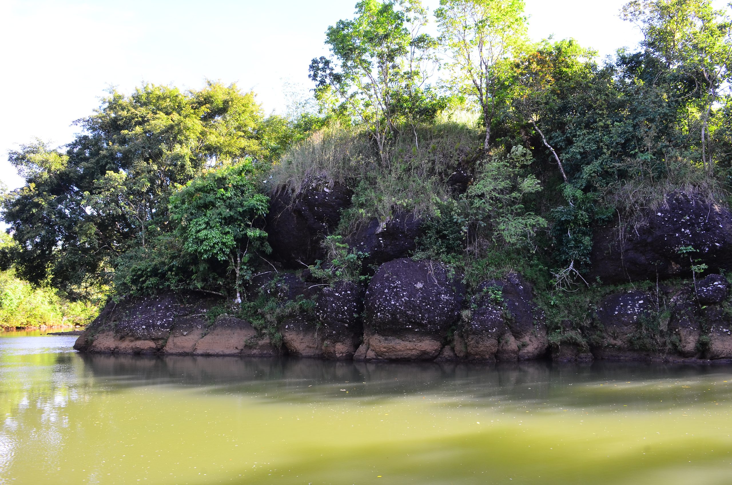
Belangian Village is in Riam Kanan Lake, Belangian Village, Aranio District, Banjar Regency. It is 2,3 km from the Ba’ah Marker Tree by an engine boat or what the local community calls it “Klotok”. As a result from earth events (geology) originating from the Diorite Group aged 143-157 million years ago (Early Cretaceous), the southern most village and serves as the gateway to the Kahung Tropical Rain Forest. The existence of this village is related to the implementation of the Riam Kanan dam construction project, where this region was formerly a plantation area for residents living in Kalaan Village and its surroundings before it was inundated by the water of Riam Kanan Lake. Because it has a higher topography, the residents (about 33 households) affected by the project moved to this location. The name of the village which was inaugurated in 1985 later named Belangian Village taken from the name of the Bay/ Telaga which is near the village, namely Telaga Belangian. Belangian comes from Dayak tribe language, which is divided into 2 syllables, namely Balai which means a meeting place and Ngian which means spirits. So, the name of this village is based on the existence of a traditional event/ceremony held at Belangian Bay/Telaga by giving offerings in the form of forest feeding which held once a year by inviting spirits that exist in all directions Riam Kanan