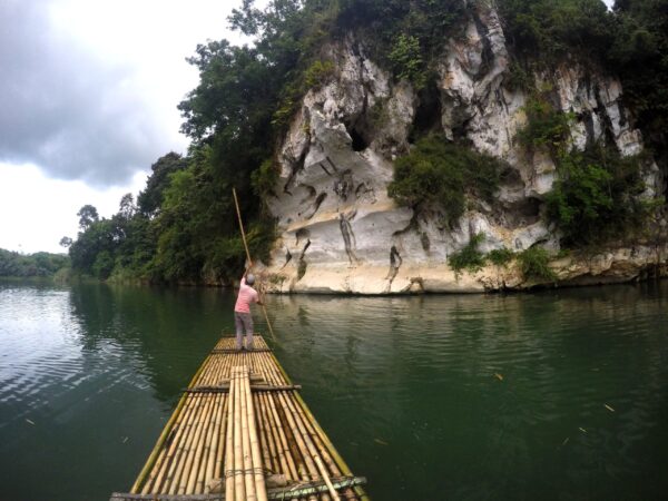
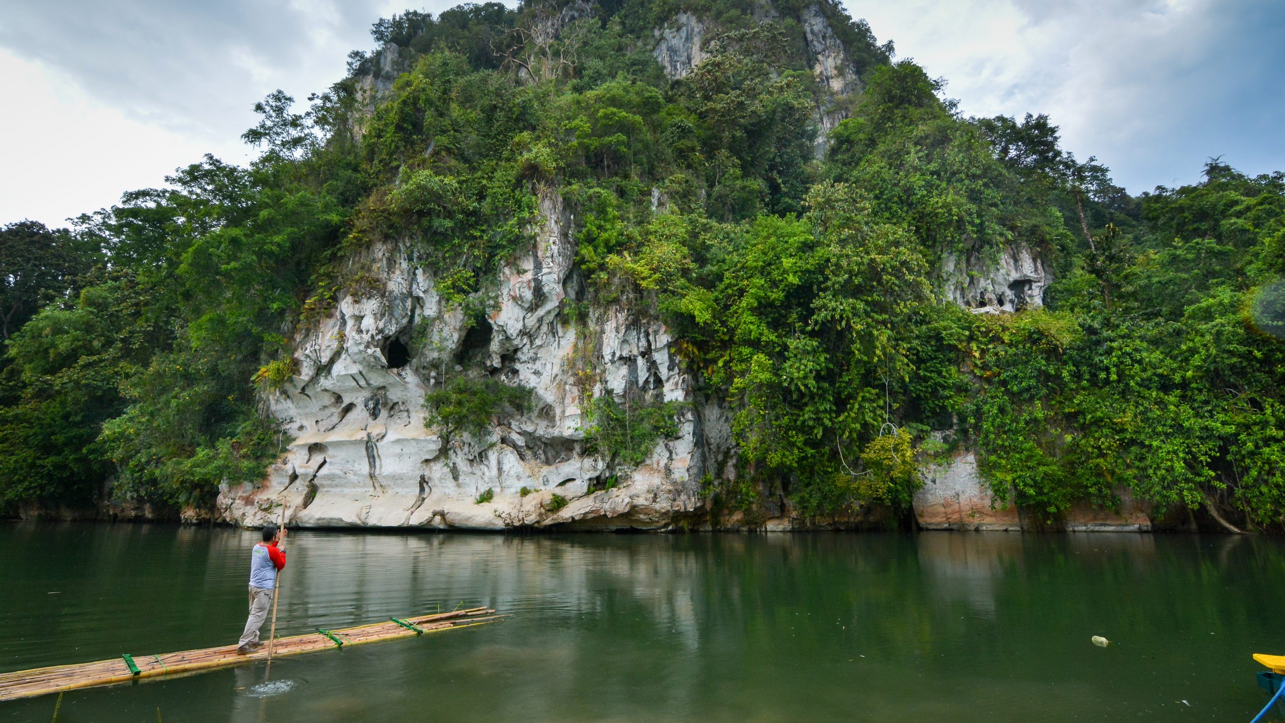
Batulaki Limestone Cliff is in Batulaki Village, Padang Batung District, Hulu Sungai Selatan Regency. It is 25 km from Langara Hill Scenic View or 13 km from Kandangan City, Hulu Sungai Selatan Regency, by motorcycle or car Batu Laki Hill has a height of about 220 meters above sea level, composed of limestone which is part of the Berai Formation aged 16-36.5 million years ago (Oligocene-Early Miocene) and formed under shallow sea conditions (
<30 meters). It is a karst area with motoge (positive landform) formed from the dissolution and erosion of limestone. At the bottom of the hill there is a cave which, according to residents, has a fairly large cave opening and currently covered by the flow of the Amandit River. According to legend, this area is a fragment of Angui’s ship, where Angui was a child who was disobedient to his parents. One of the pieces of the ship is Batu Bini Hill and between the pieces of the ship (Batu Laki and Batu Bini) are separated by the Amandit River. This is the end of journey of the North Route “Following the Sound of the Wind to Magic of Dayak Meratus”.>