Batu Hapu Cave
- Home
- Batu Hapu Cave
NO. SITE : 44
Batu Hapu Cave
Batu Hapu Cave
| Location | Desa Batu Hapu, Kecamatan Hatungun Kabupaten Tapin |
| Coordinate | Latitud : 2° 7’ 37.92” Longitud : 115° 10’ 32.16” |
| Characteristics | Geology Site |
| Route | North Route |
| Functions | Research, Education, and Nature Tourism |
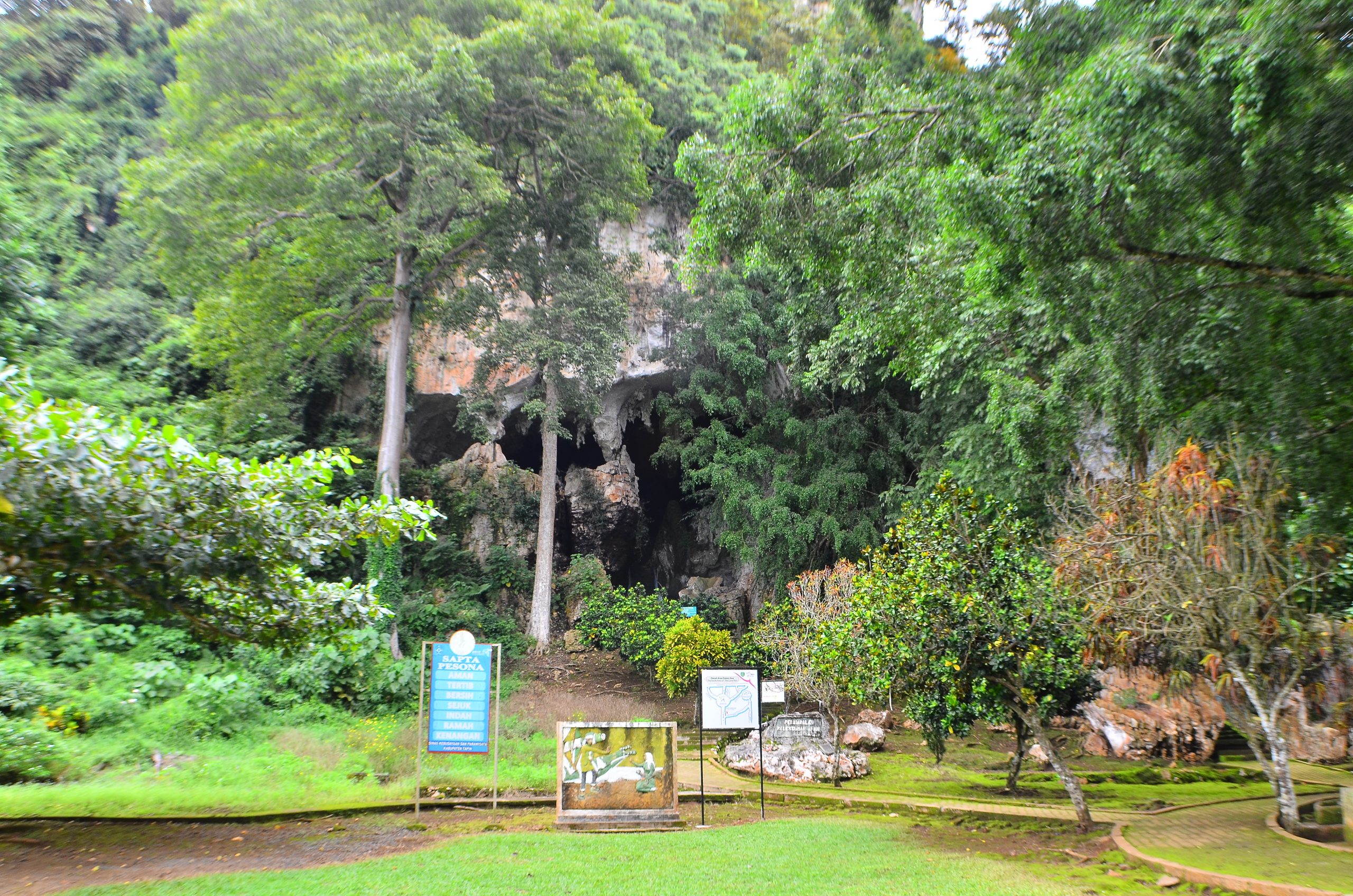
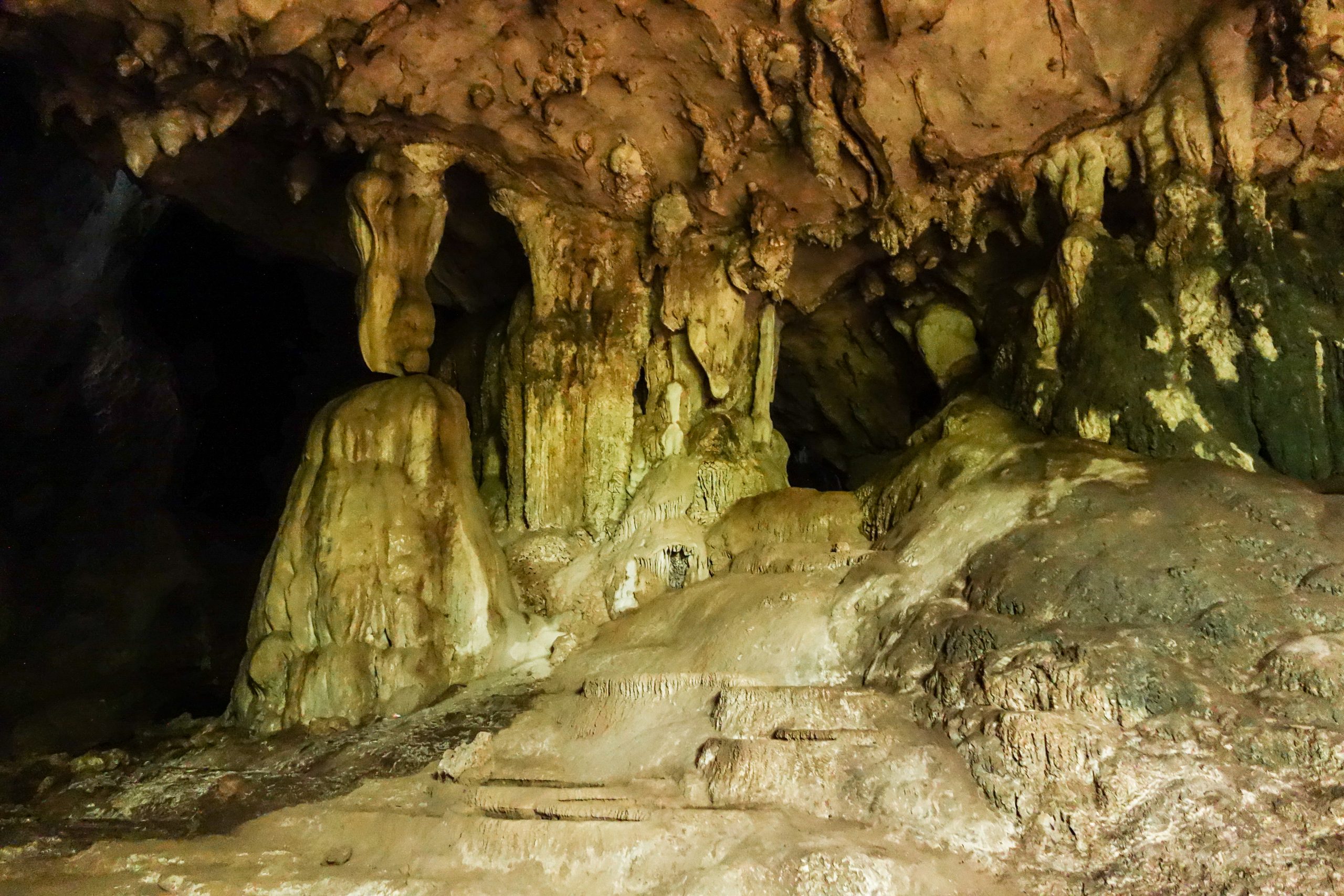
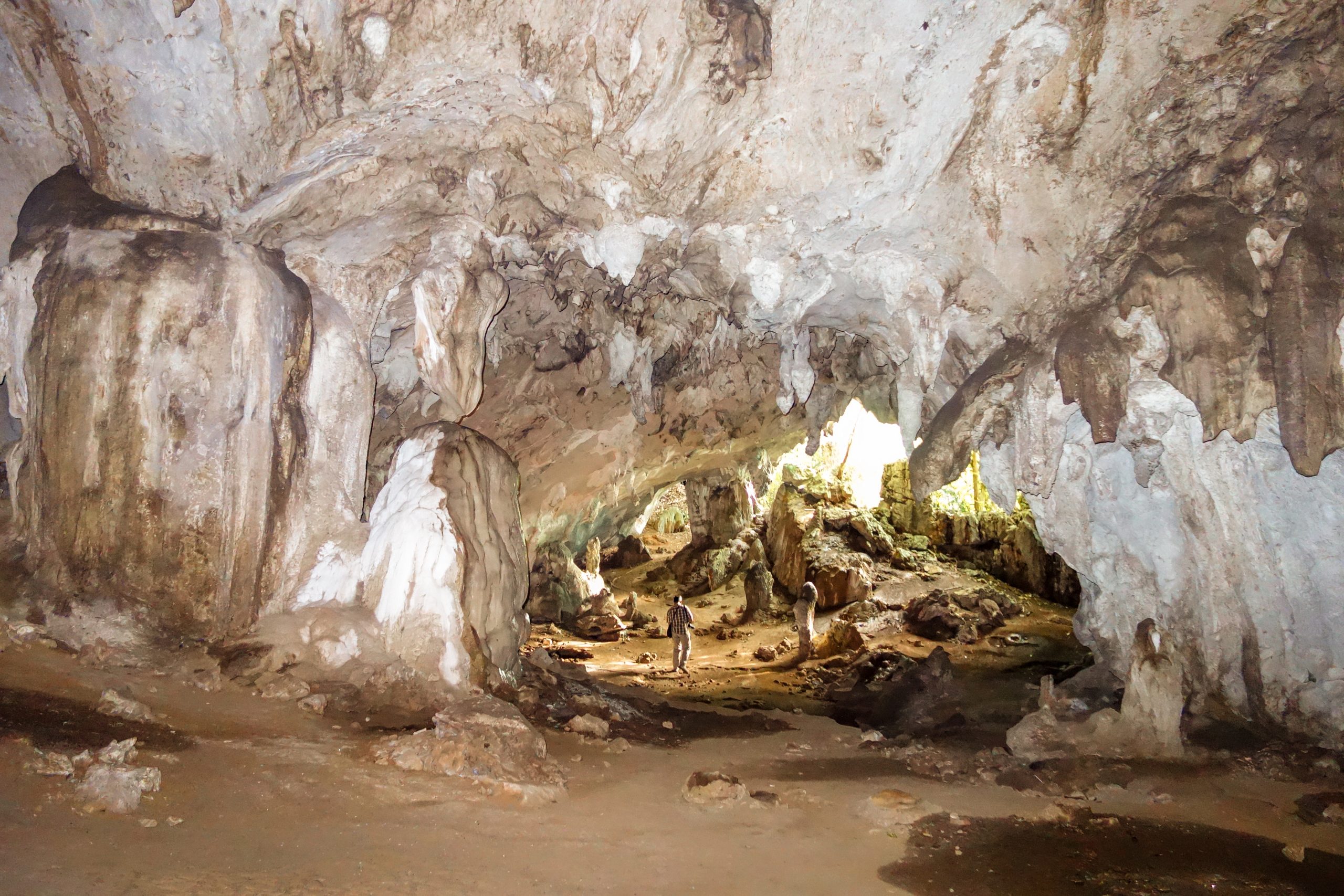
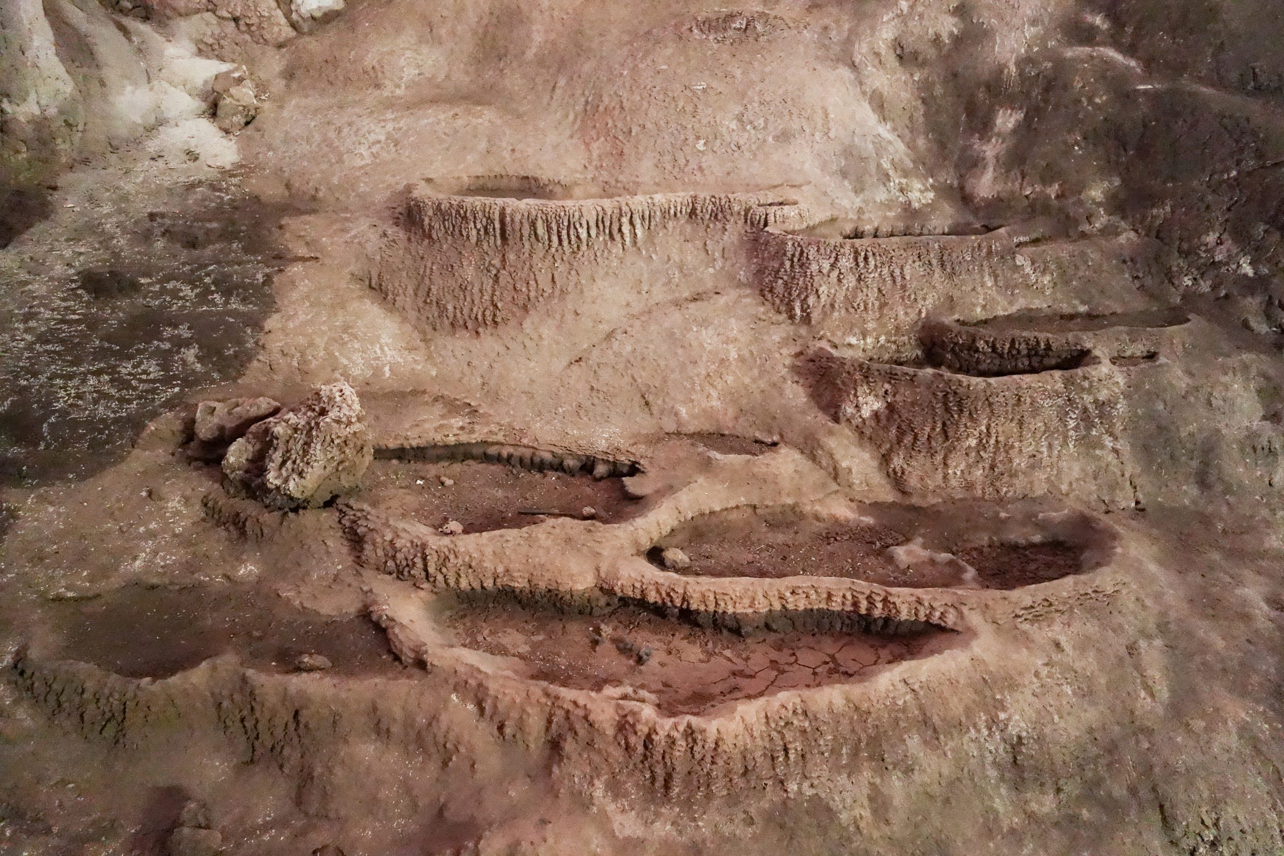
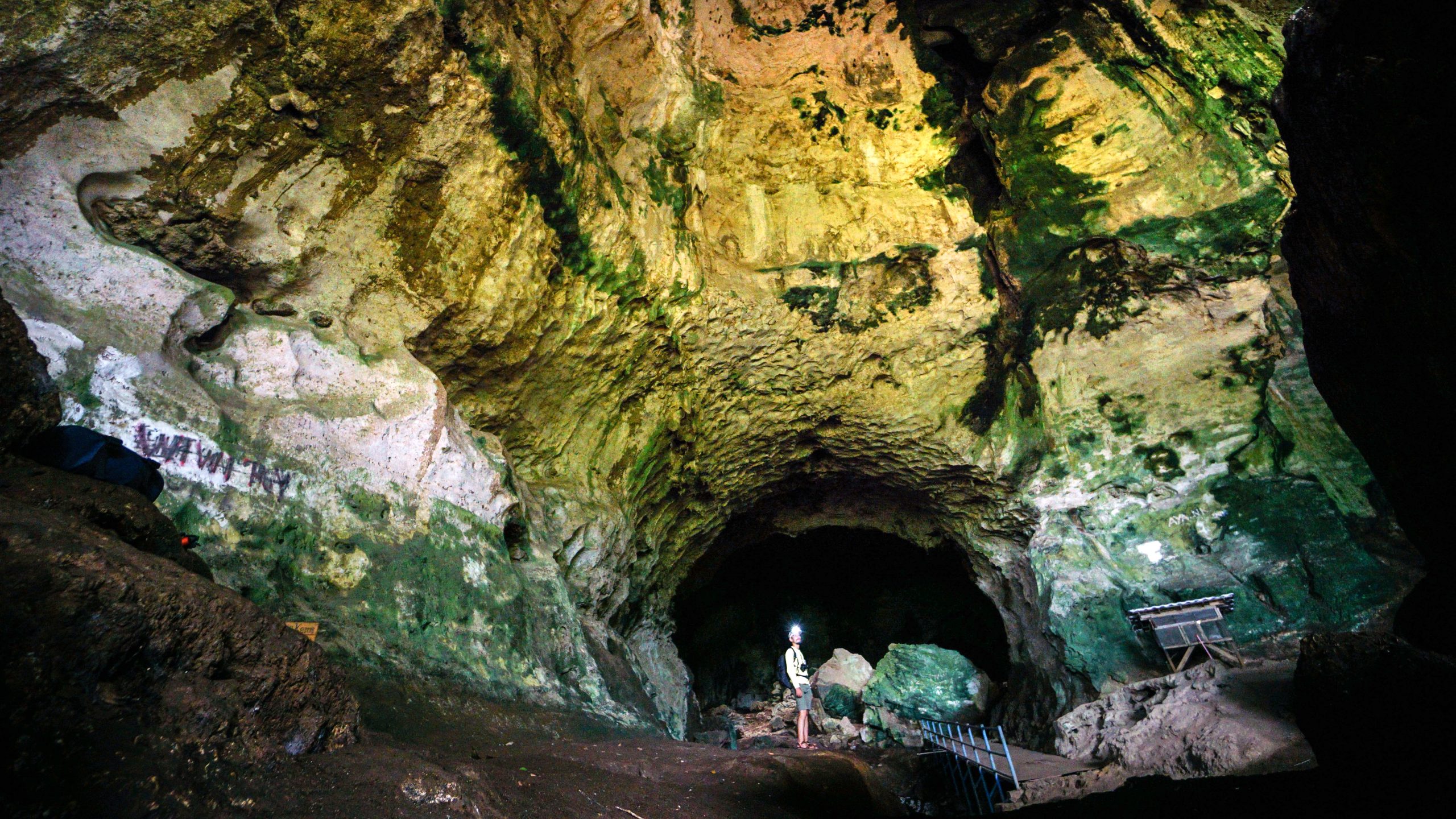
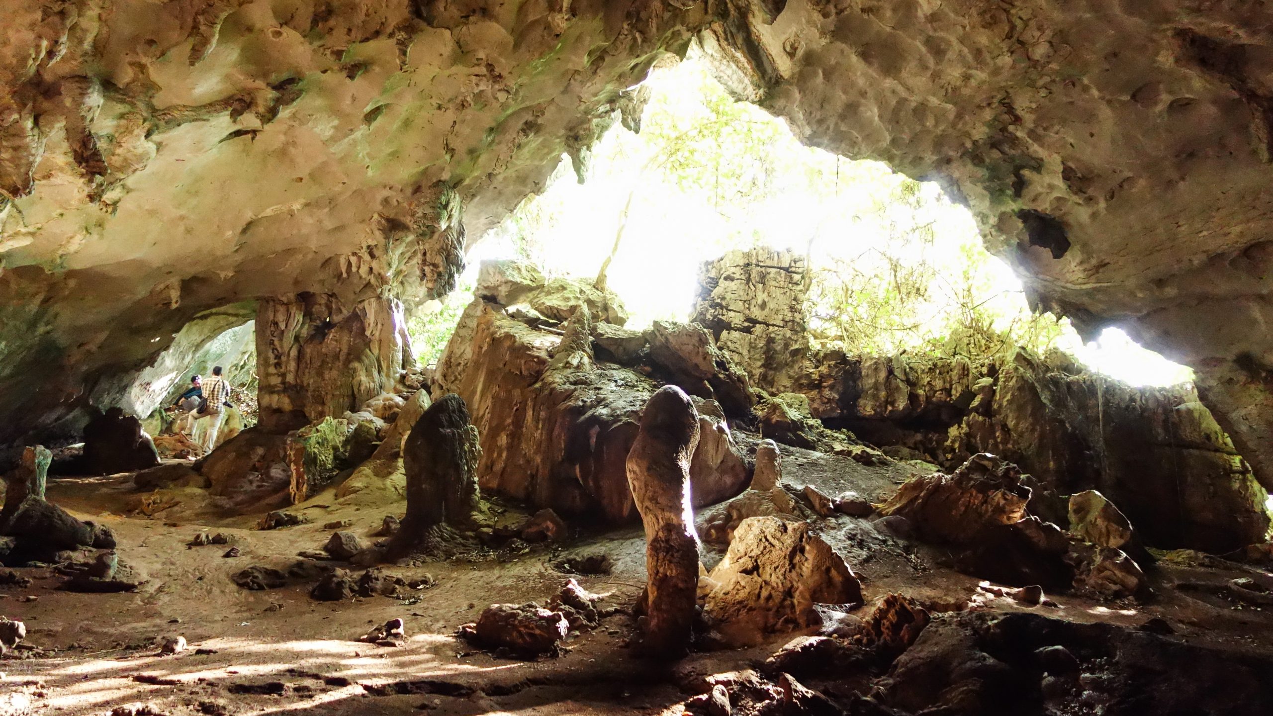
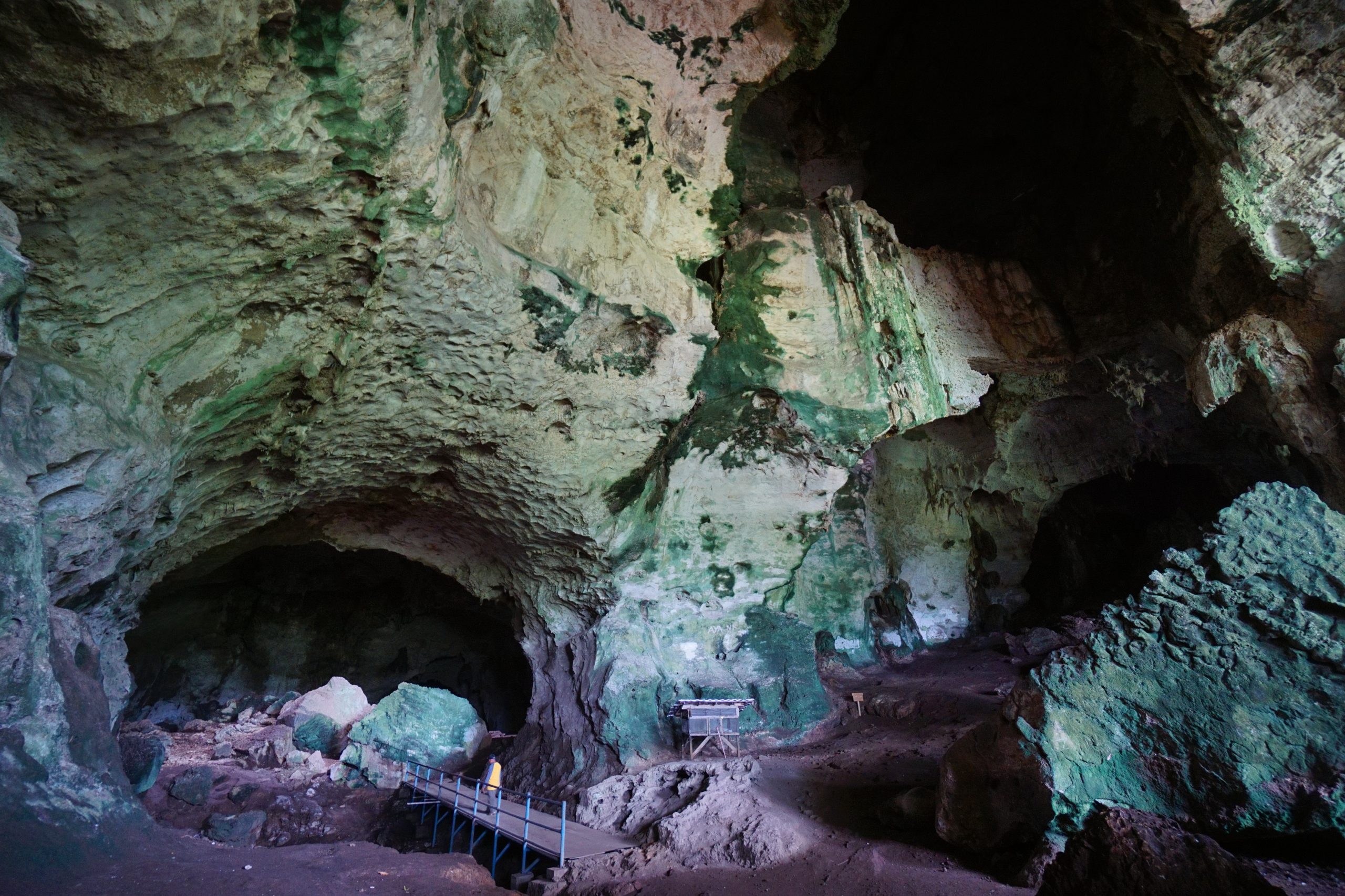
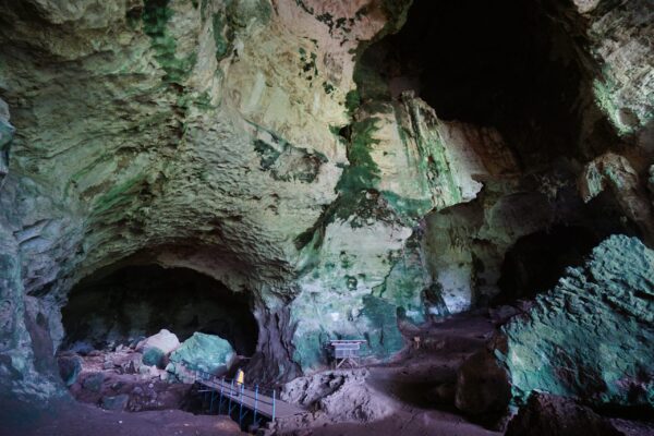
Batu Hapu Cave is in Batu Hapu Village, Hatungun District, Tapin Regency. It is 31 km from Historical Coal Mine or 31 km from the Rantau City using motorcycle or car. The word Hapu, which means white in local language, was formed as a result of earth process (geology) occurrence in the form of a karst cave composed of limestones of the Berai Formation aged 16-36.5 million years ago (Oligocene-Early Miocene) and formed under shallow sea conditions (


