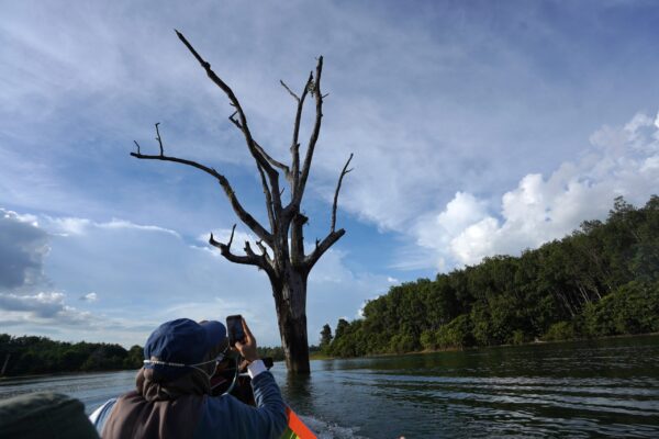
The Ba’ah Marker Tree is in Riam Kanan Lake, Belangian Village, Aranio District, Banjar Regency. It is 10 km from the Sirang Island Archaeological Site by an engine boat or referred to by the local community as “Klotok”. It is in the middle of the lake, it was indicated that rocks at the bottom of the lake were a result of earth events (geology) originating from the Manungul Formation which was 59-65 million years ago (Late Cretaceous) and deposited in submarine fan depositional environment, there are large trees which is still standing strong, it is called the Merbau Tree or known in Kalimantan as the Anglai Tree. The Anglai tree is a hard wood species with high wood resistance, ability to growth big, and up to 50 meters tall. The presence of this tree is interesting, because this tree is marked by flood line or in Banjar language it is called Ba’ah, which occurred on Friday 15 January 2021, so it will be a reminder when crossing that location.